
This article was last updated on: October 2018
This North Korea article is kind of long and thus is divided into seven (7) parts. You are about to start reading part four (4). Choose here any other part you may want to go to: | One (1) | Two (2) | Three (3) | Five (5) | Six (6) | Seven (7) |
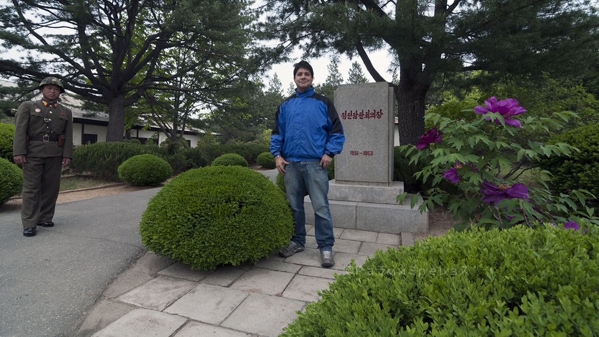
Of course, one of the activities the government is not going to let you miss is going to the border with South Korea. The de-militarised zone (the famous DMZ).
And this time around the pleasure didn’t belong just to the government. The DMZ was one of the places I had always wanted to go to, and now I had the chance.
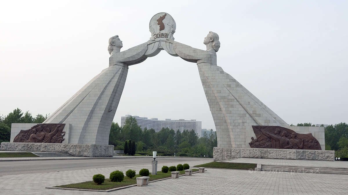
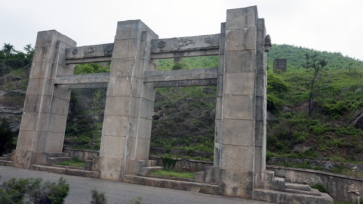
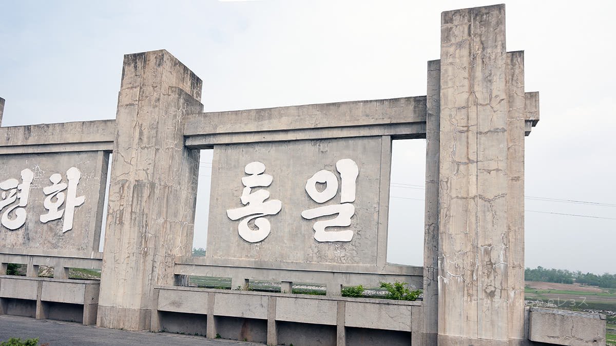
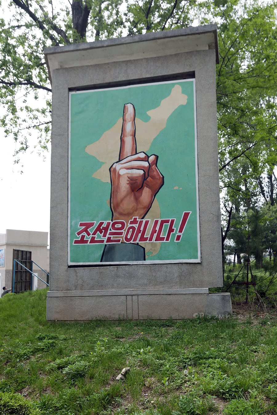
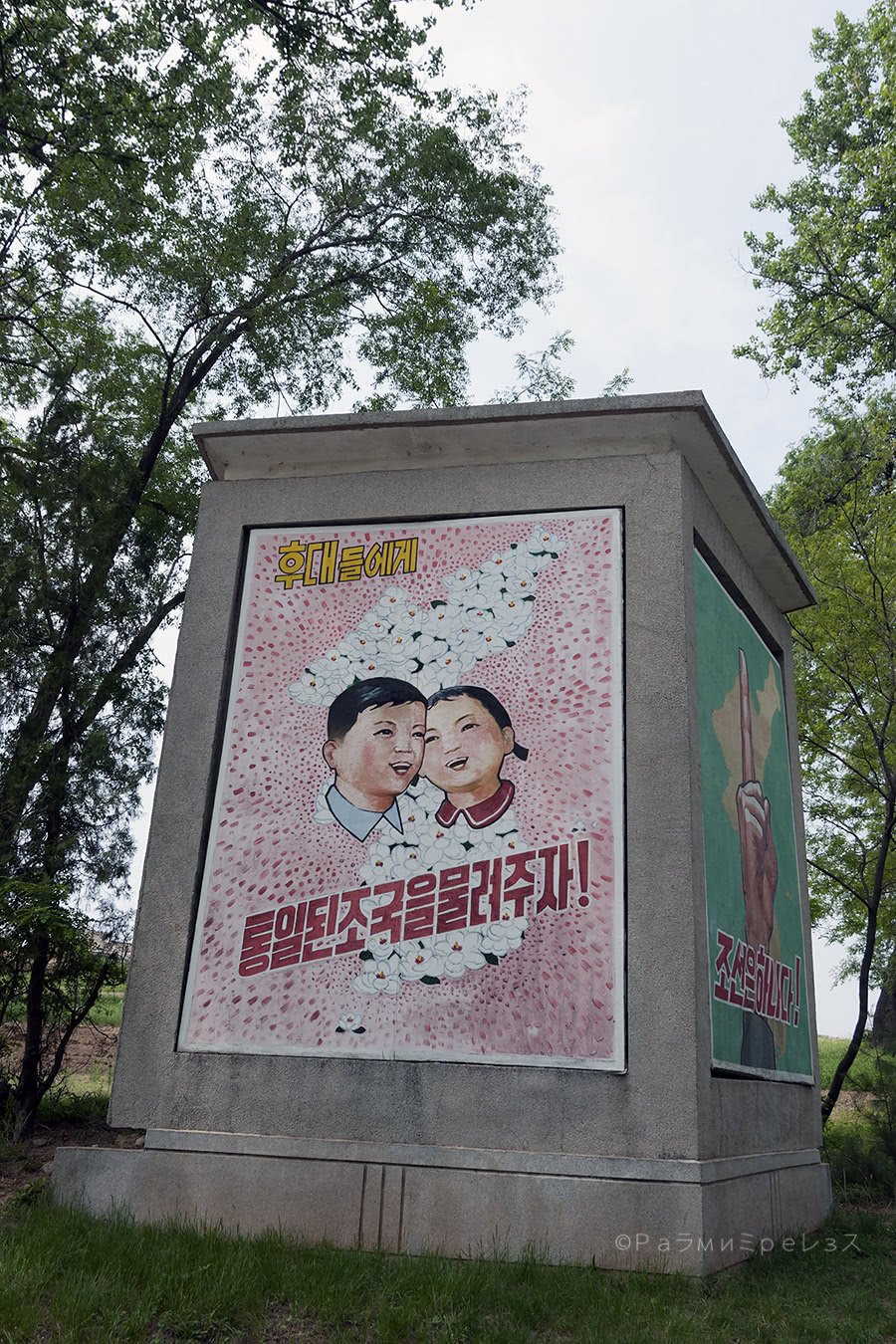
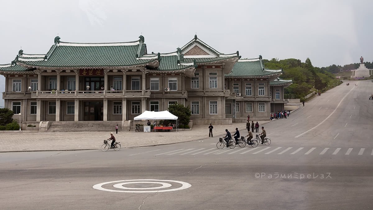
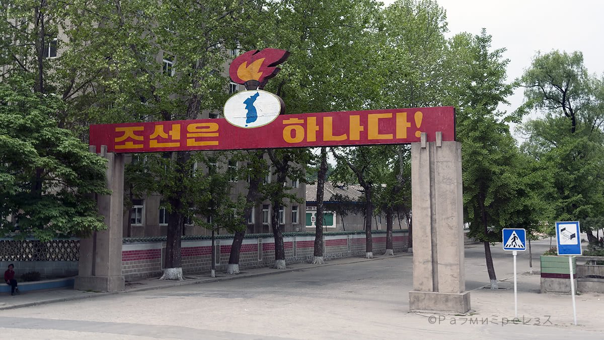
To reach Panmunjeom from Pyongyang, you leave from the Reunification Arch, yet another monument in the city.
They made it to commemorate some ideas Kim Il-Sung had about the reunification of the countries.
It consists of two women with traditional Korean attire, that represent North and South. They hold a sphere with a map of what the fully unified Korea would be.
Within the context, I thought the arch was nice, and from there the trip starts.
I exposed already some reasons why the DMZ exists as it does some paragraphs earlier.
Now I am going to complement that with the actual visit I made.
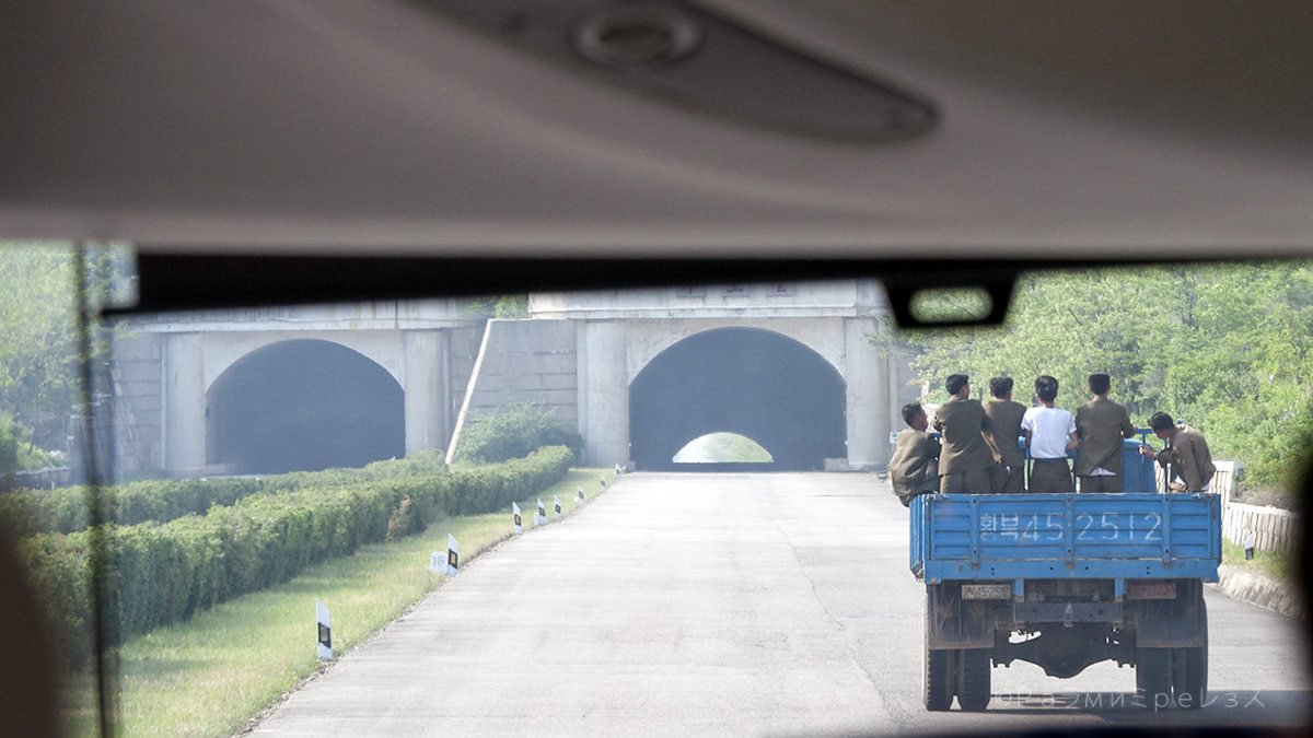
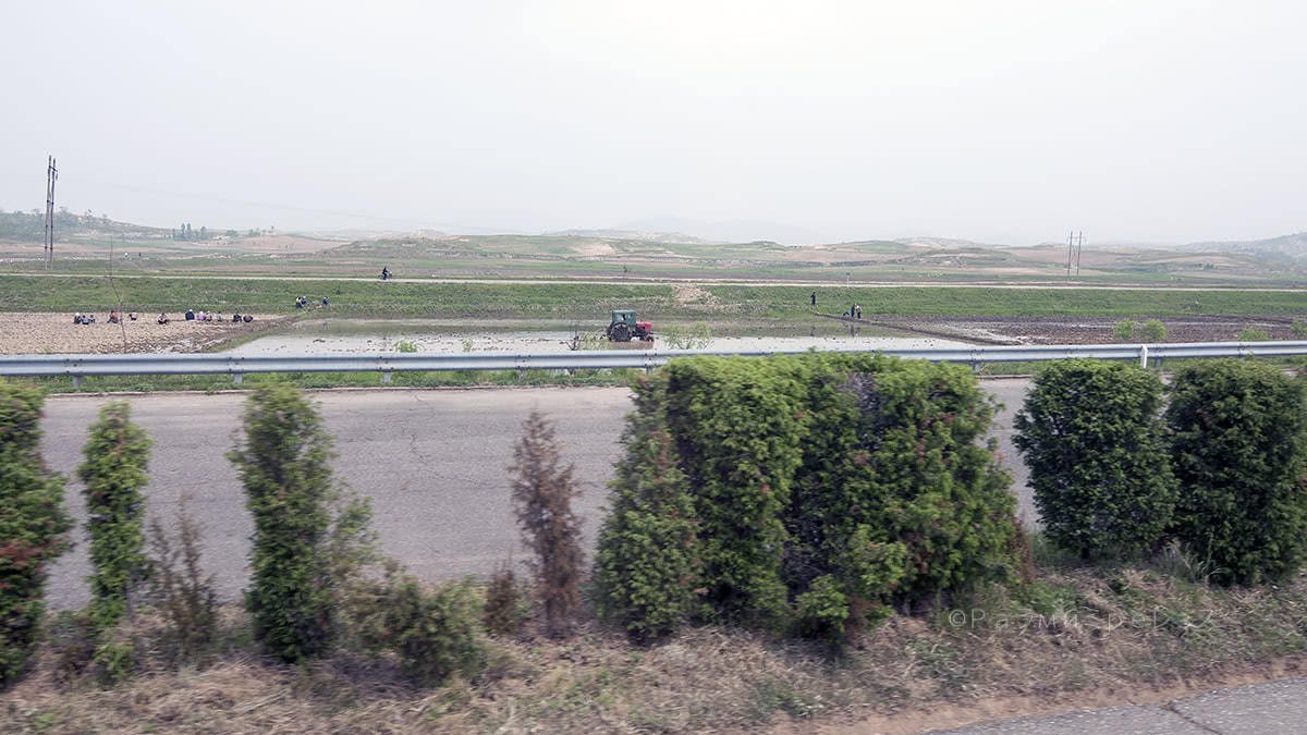
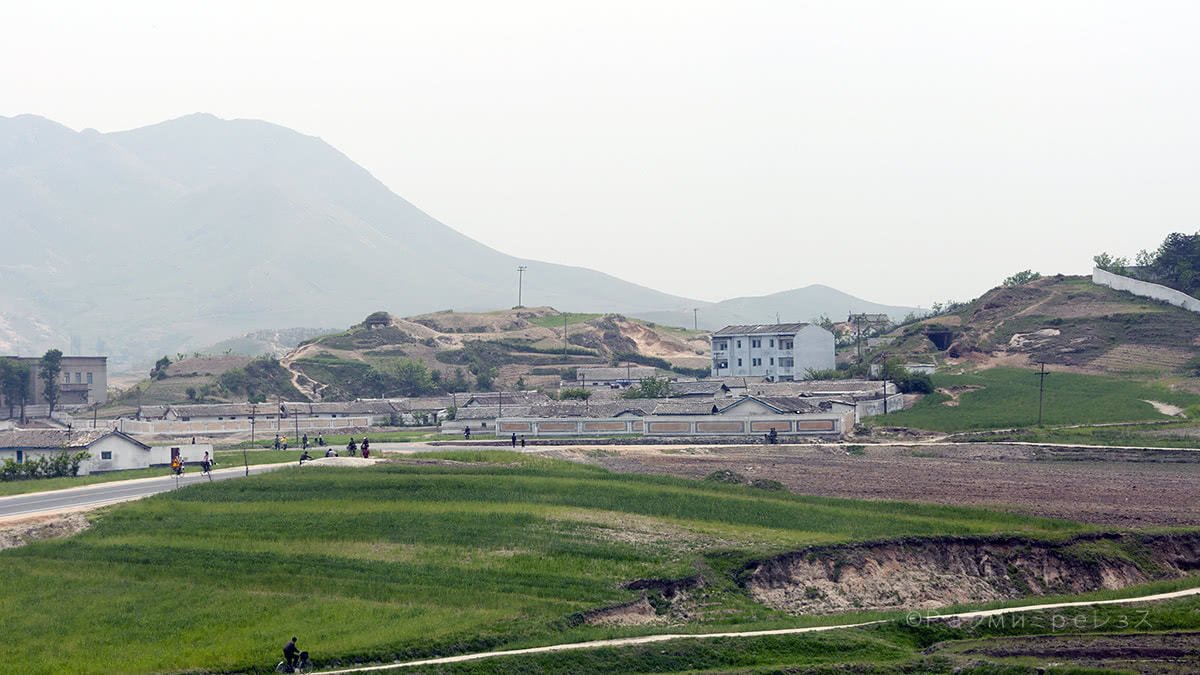
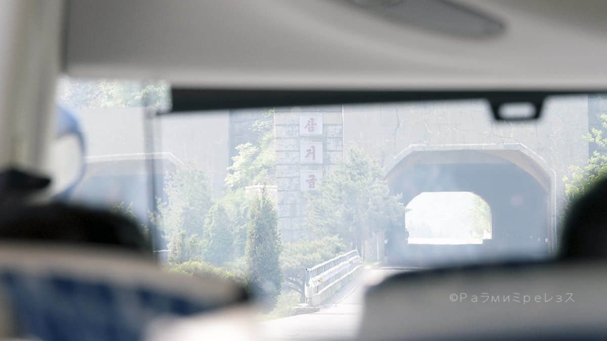
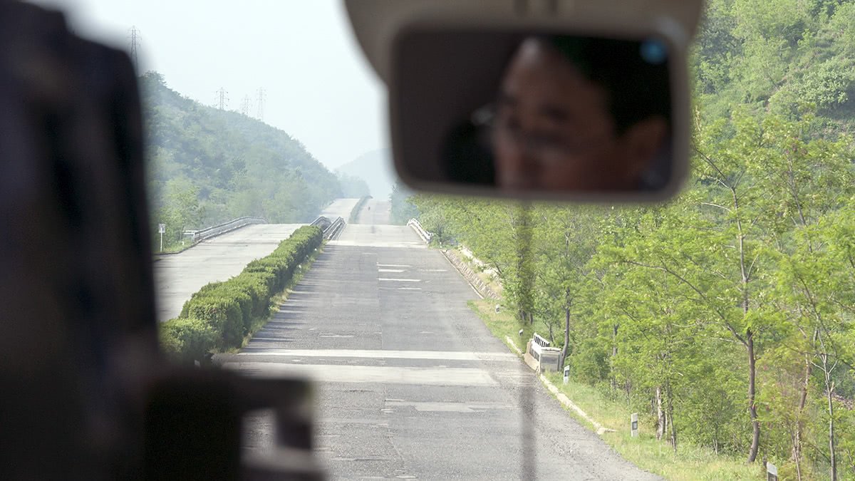
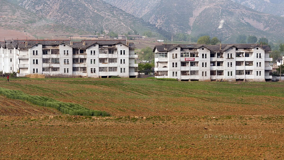
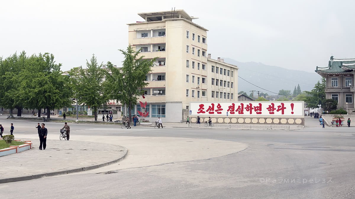
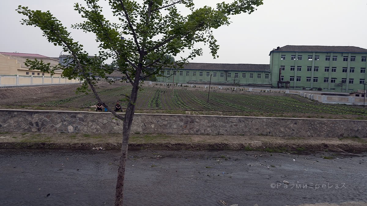
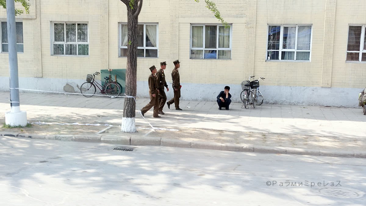
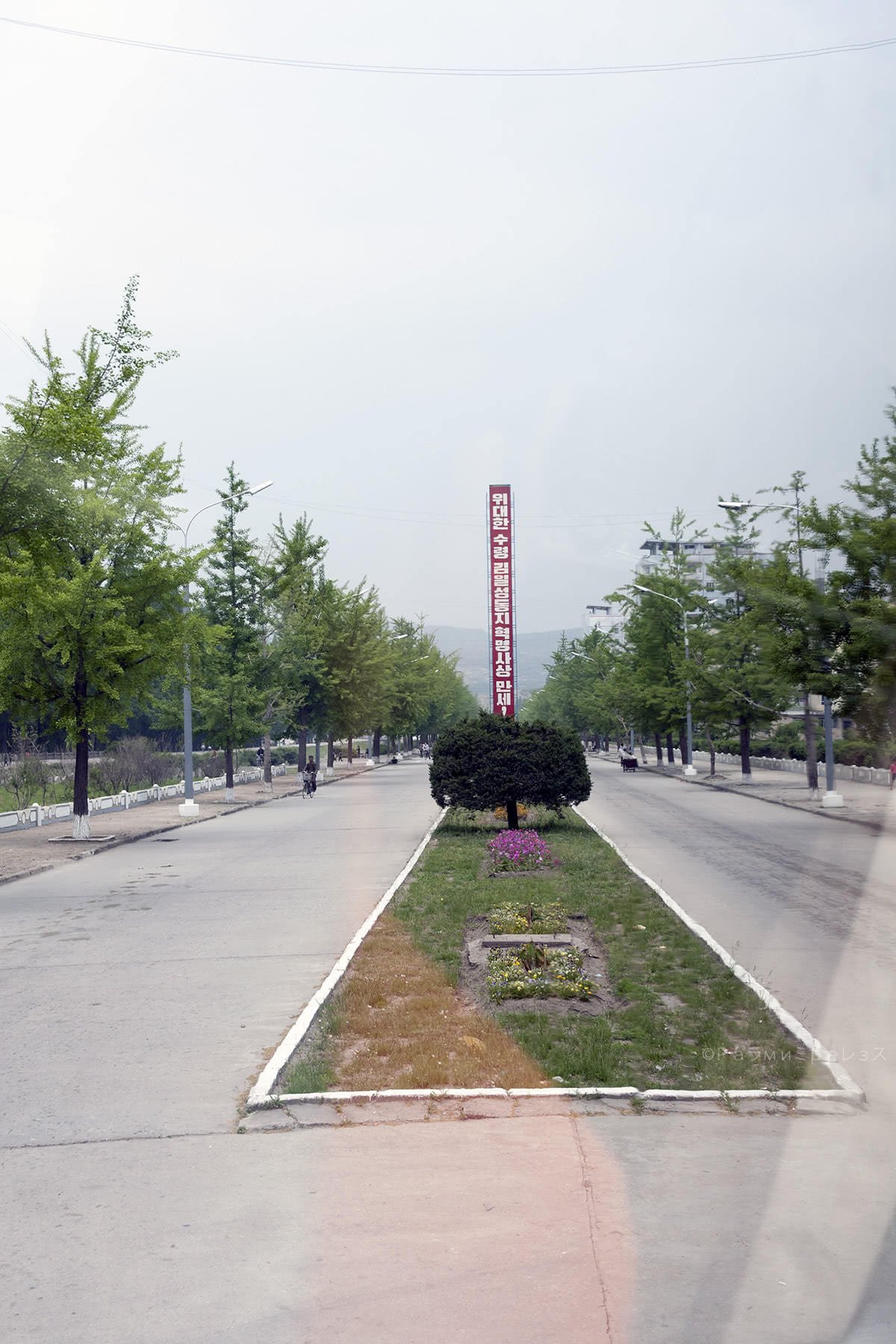
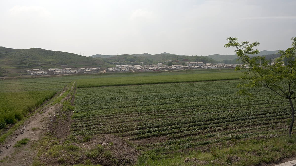
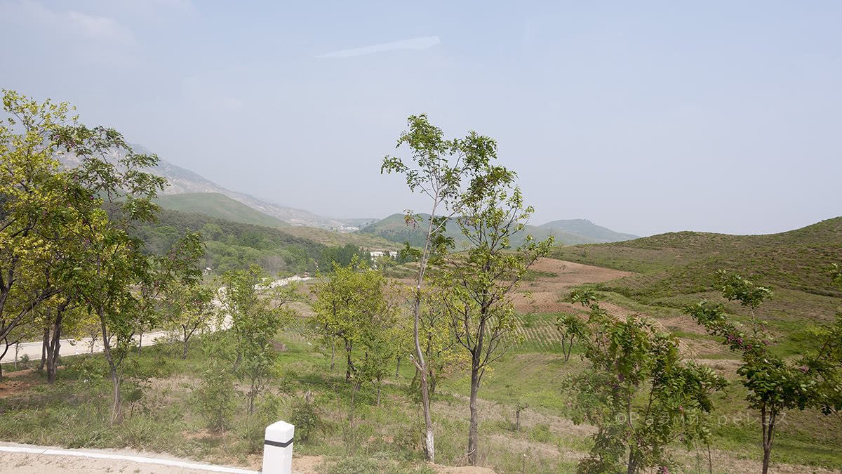
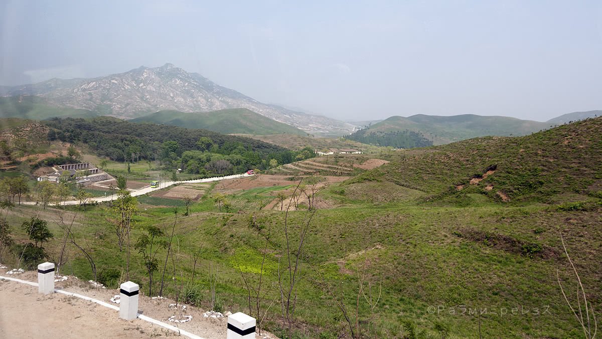
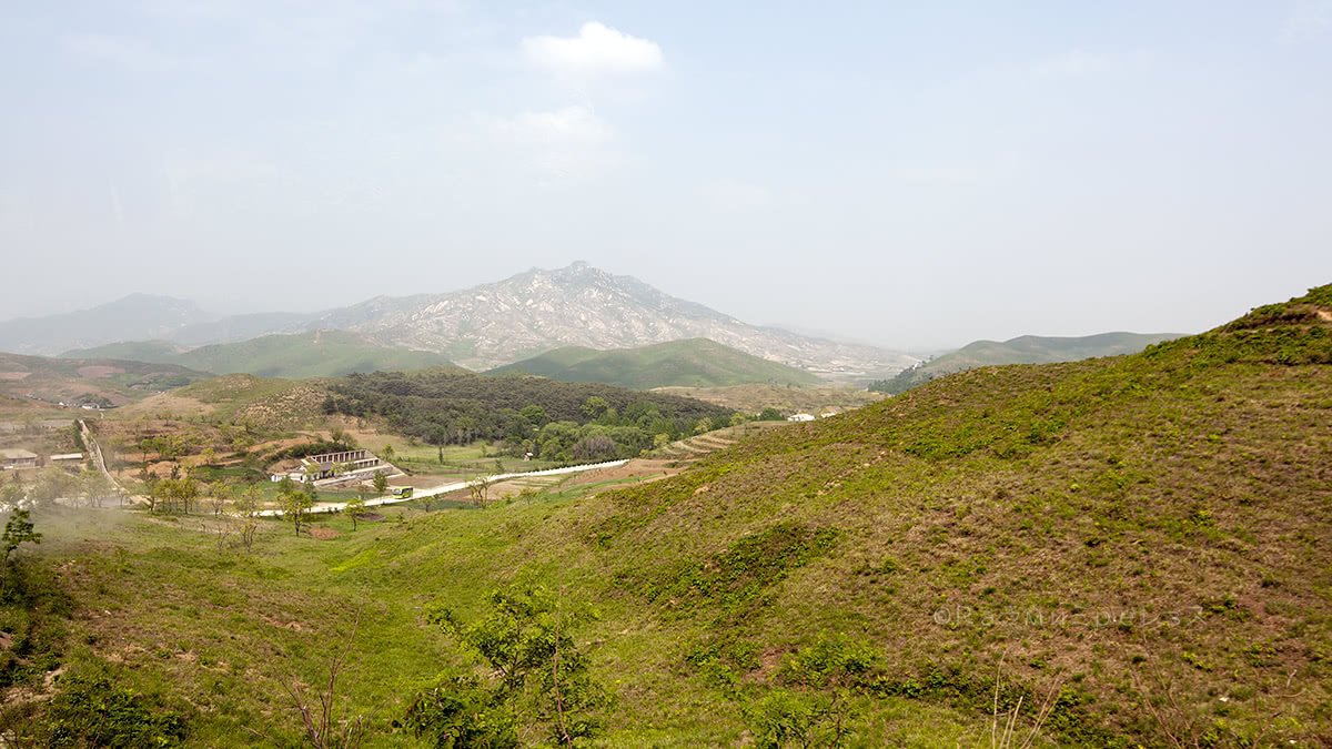
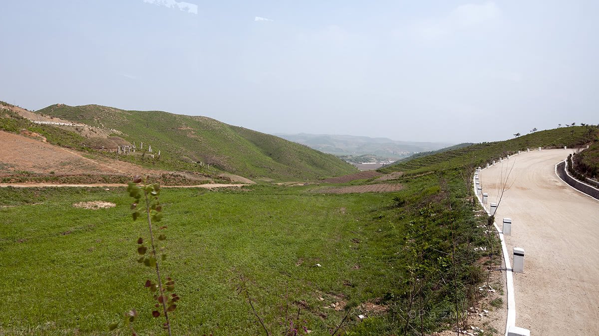
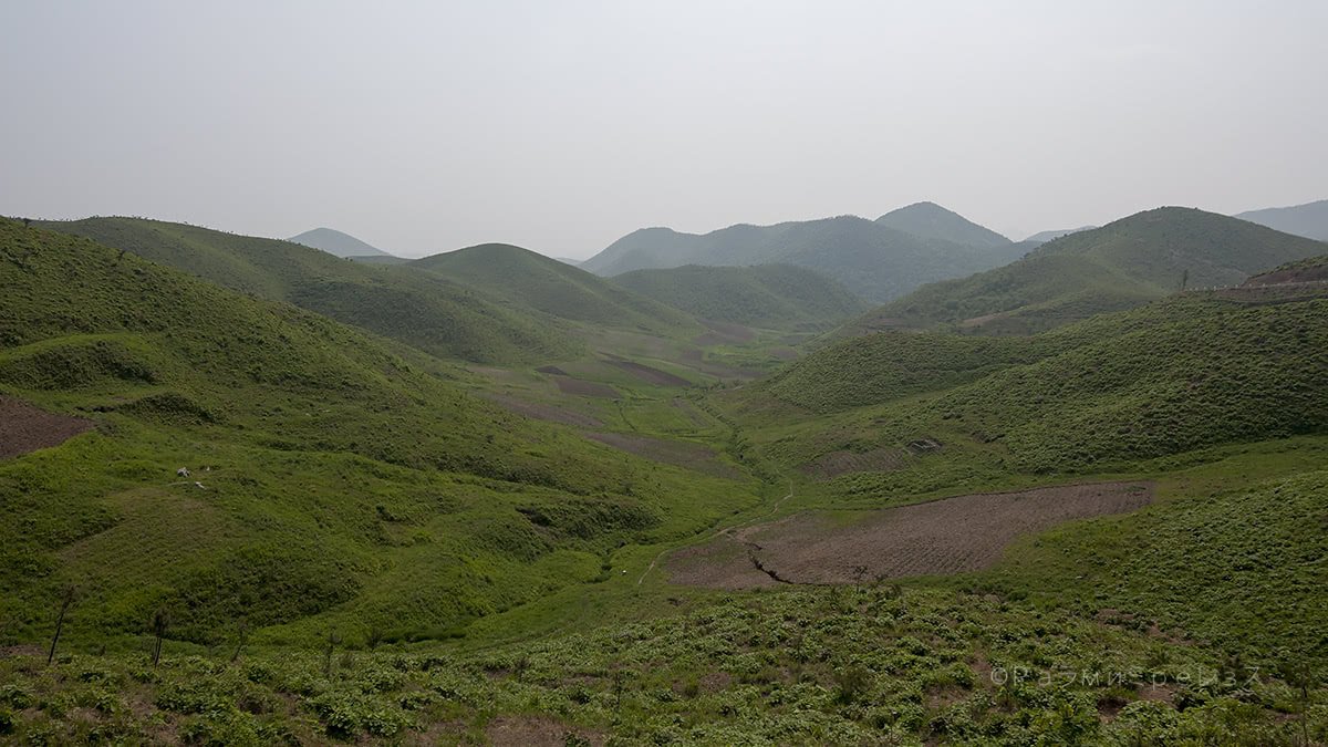
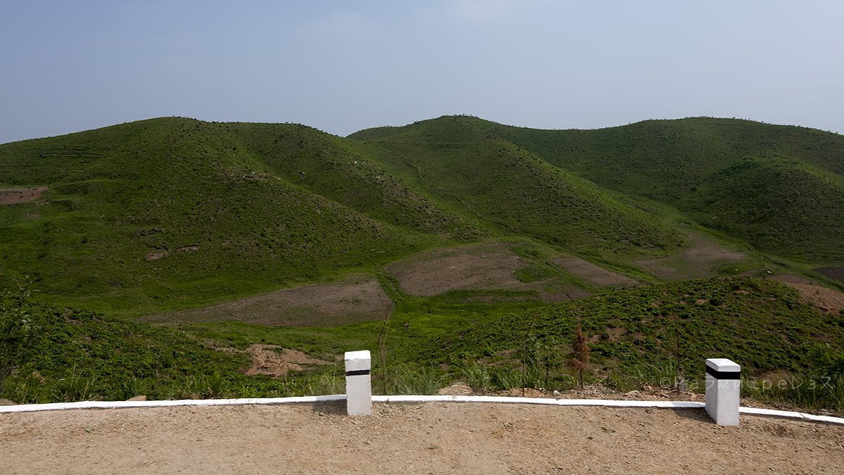
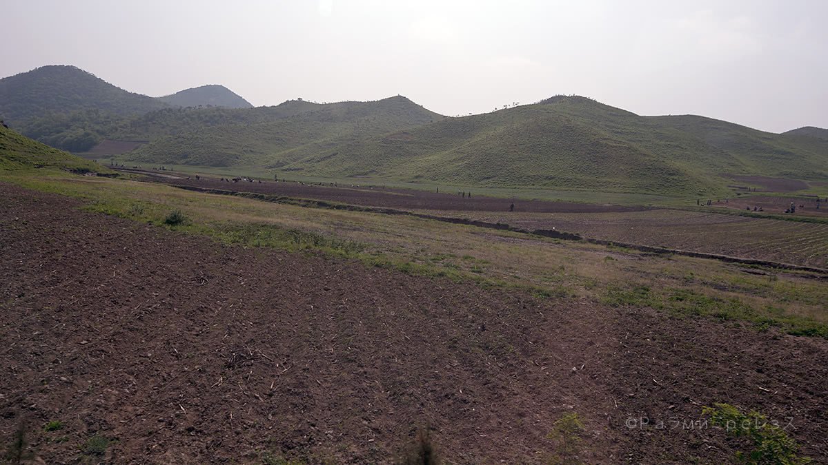
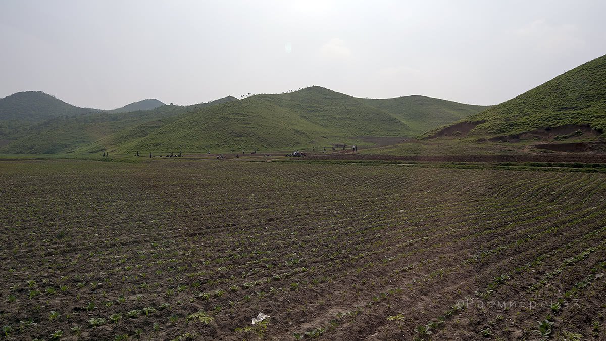
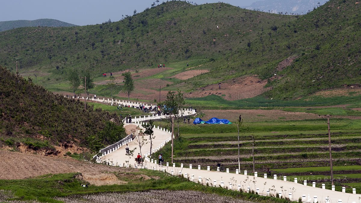
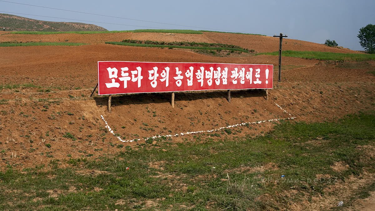
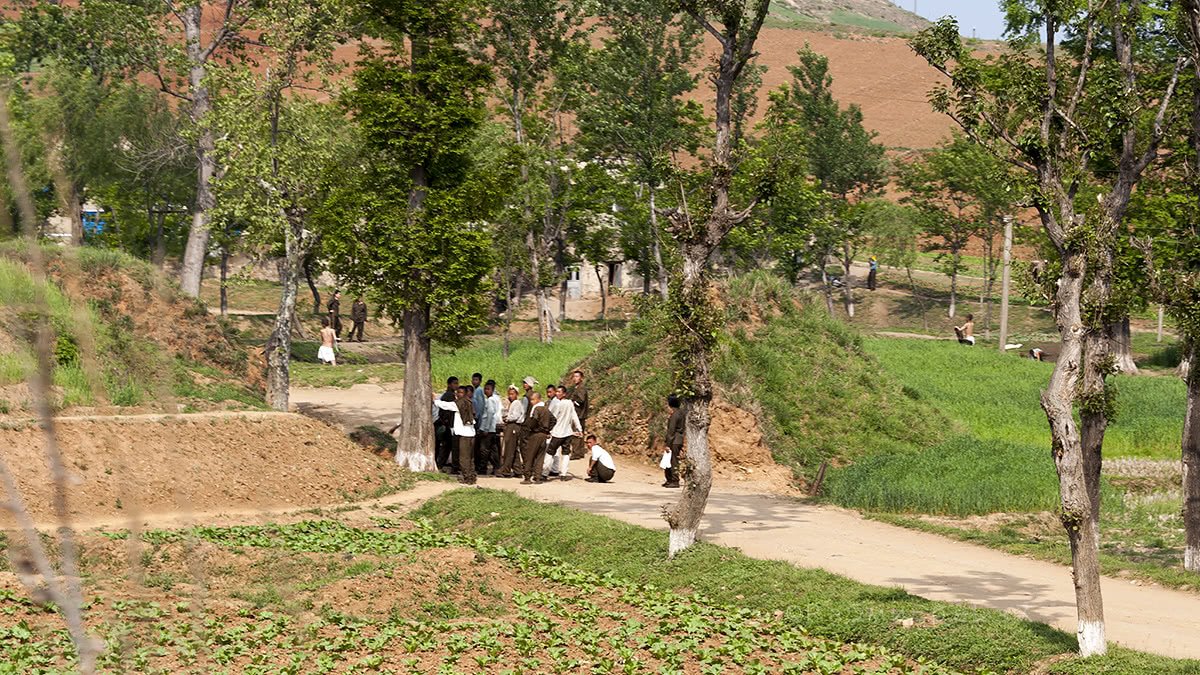
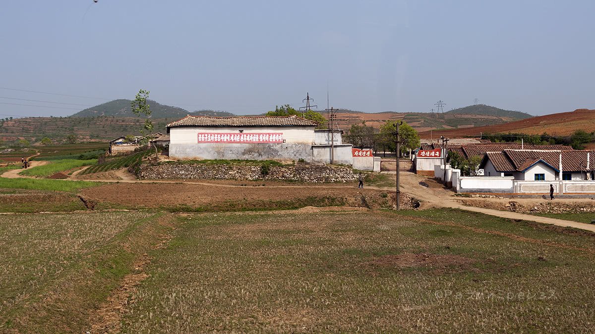
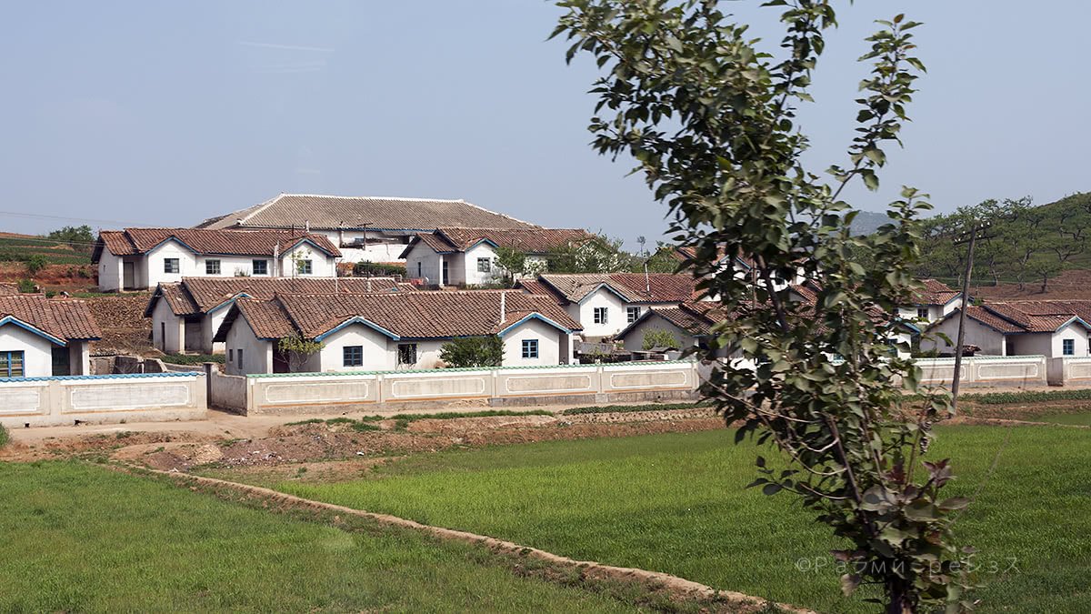
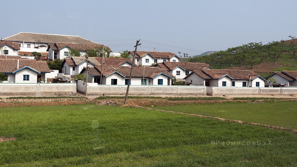
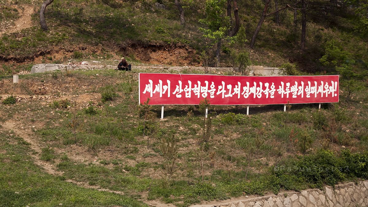
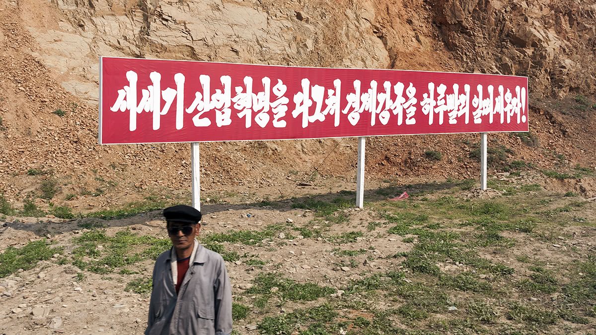
The road that goes there, unlike what I saw in Pyongyang, is stereotypical indeed.
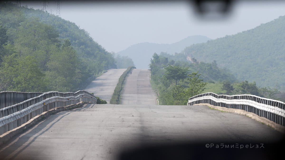
It’s a multiple-lane motorway that it’s pretty much empty save the eventual army lorry or “civilian-like” lorry but full of people in olive-green clothing that you can’t tell whether they’re civilian or military (or both?).
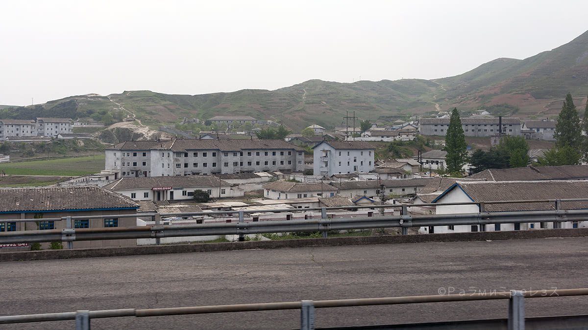
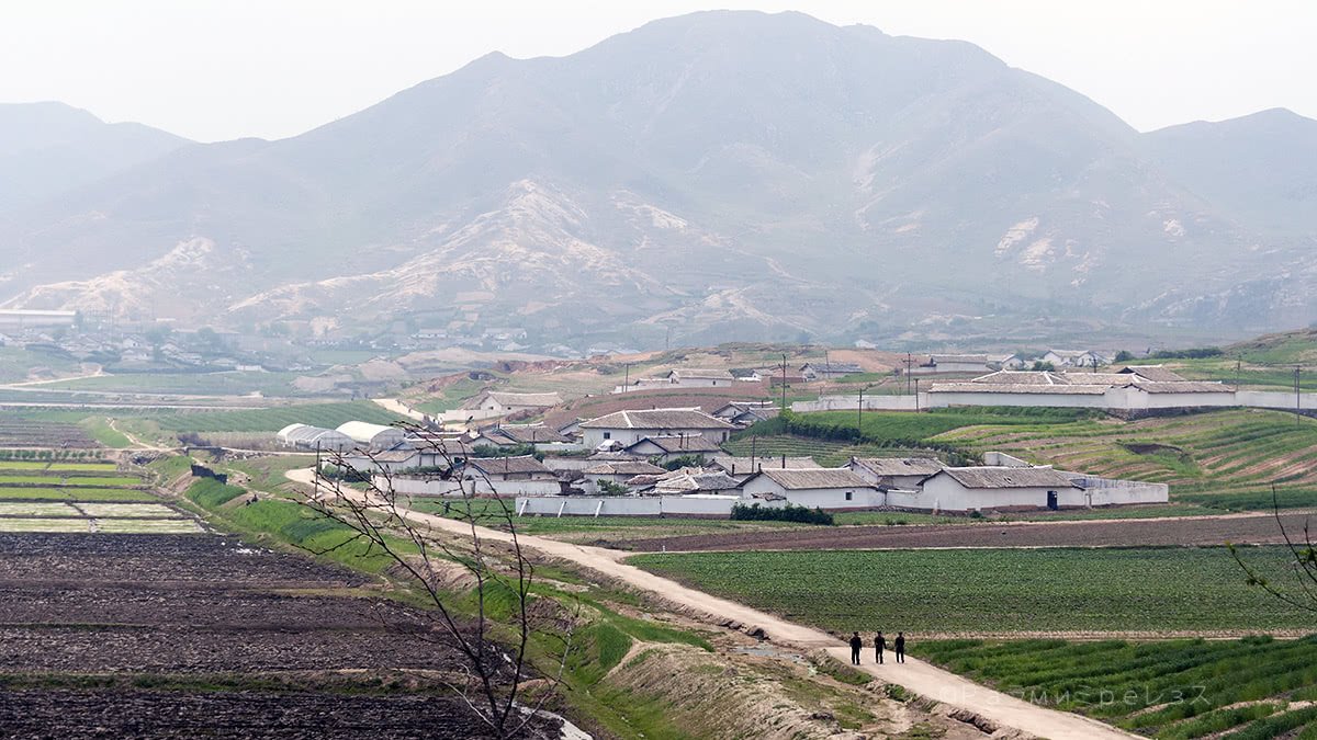
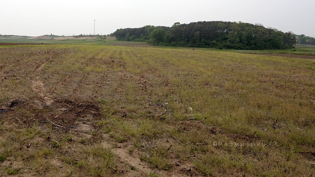
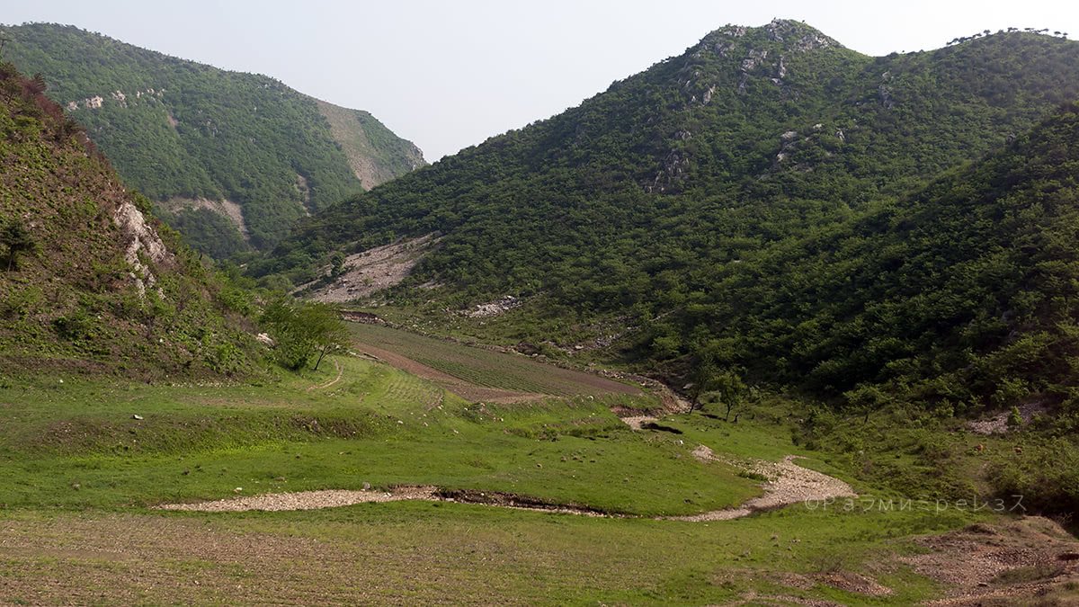
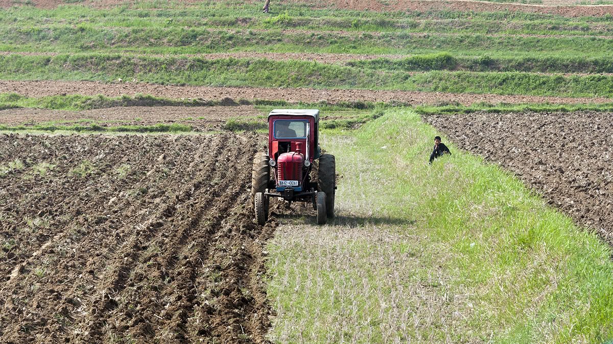
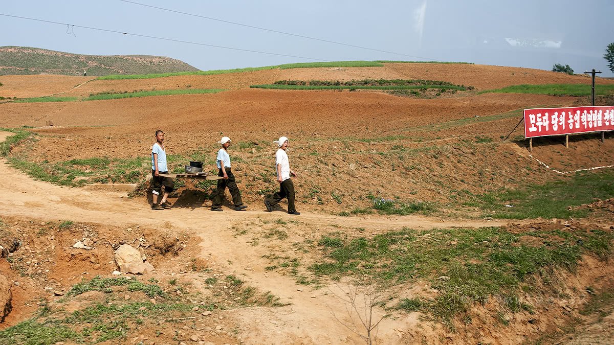
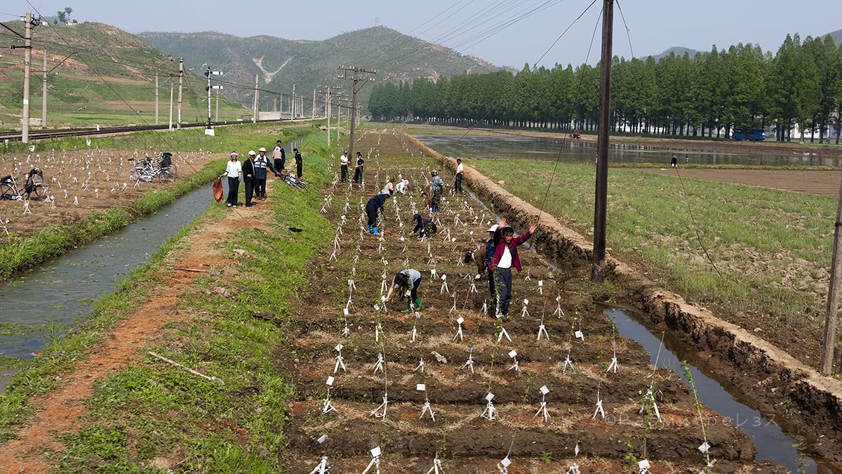
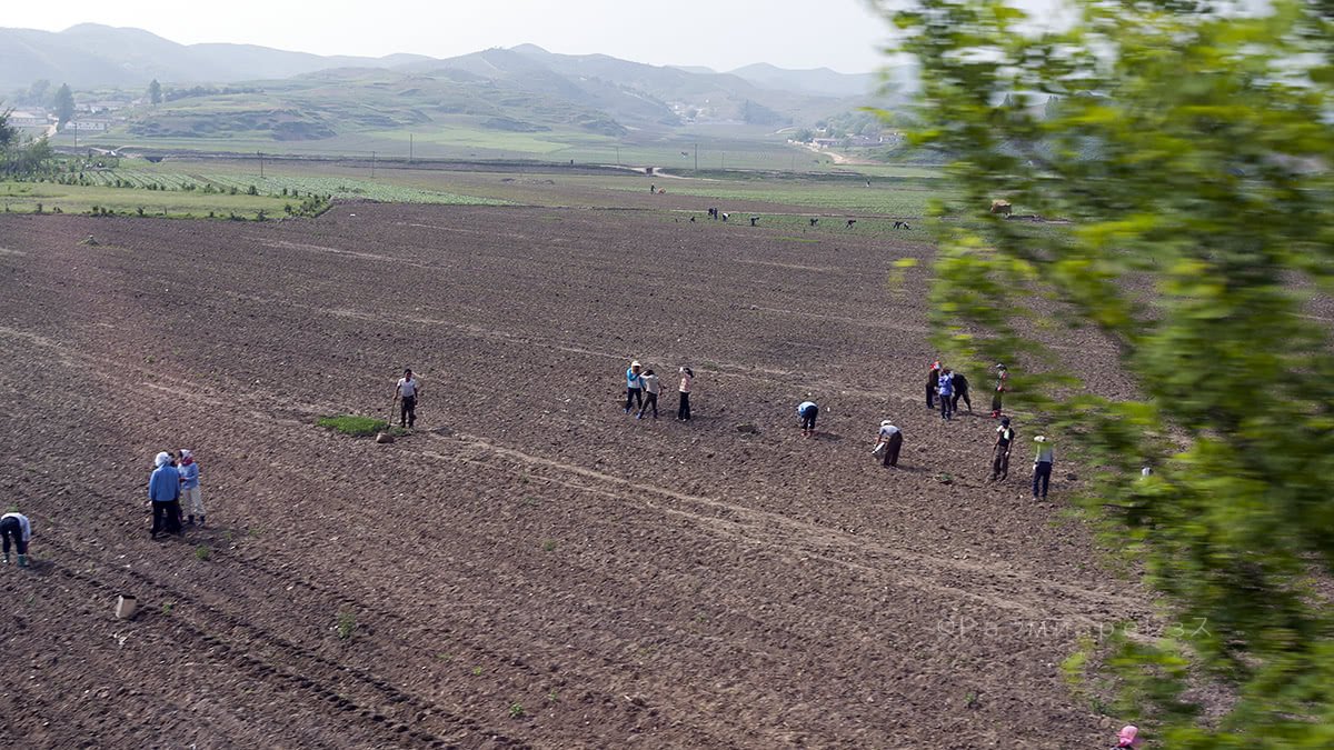
On the road, many crops can be seen, and sparsely distributed small villages. Other than that it’s pure mountains and tunnels here and there.
If it were Colombia, you could say they’re fishing for people to conscript.
But in North Korea, being in the army is desirable. More because of survival than because of it being an actual nice experience (remember the “Songbun” system).
Weirdly enough, many people can be seen walking amidst the motorway, just like that.
The distance from Pyongyang to Panmunjeom is about 200 kilometres. I don’t remember the exact number at this very moment.
The road has many sectors in which the lack of maintenance is noticeable.

Ramírez.
When going south, road signs always point to Seoul. In fact, that stretch is part of the Asian highway number 1 that goes from Tokyo to Istanbul.
It has a few important details though. For one, from Japan to South Korea you need to take a ferry from Fukuoka to Busan. There have been many proposals to build an undersea tunnel between both cities, but none has come to fruition.
You can’t pass From South Korea to North Korea. Besides, there’s a stretch in the north, before reaching China, that hasn’t been completed.
Pretty much like the missing part between Panama and Colombia that doesn’t allow the Pan-American highway to be finished. But yes, in theory, it’s the Asian highway number 1 that goes from Tokyo to Istanbul.
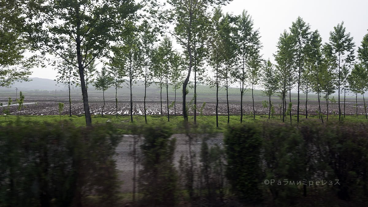

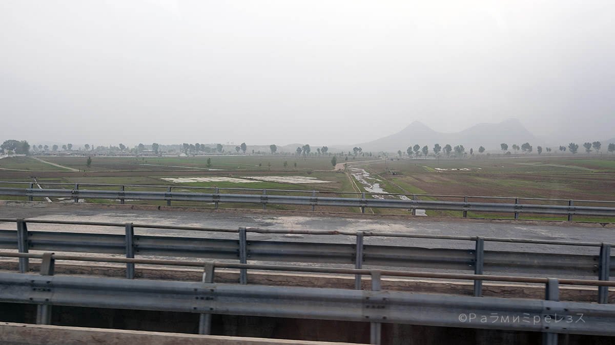
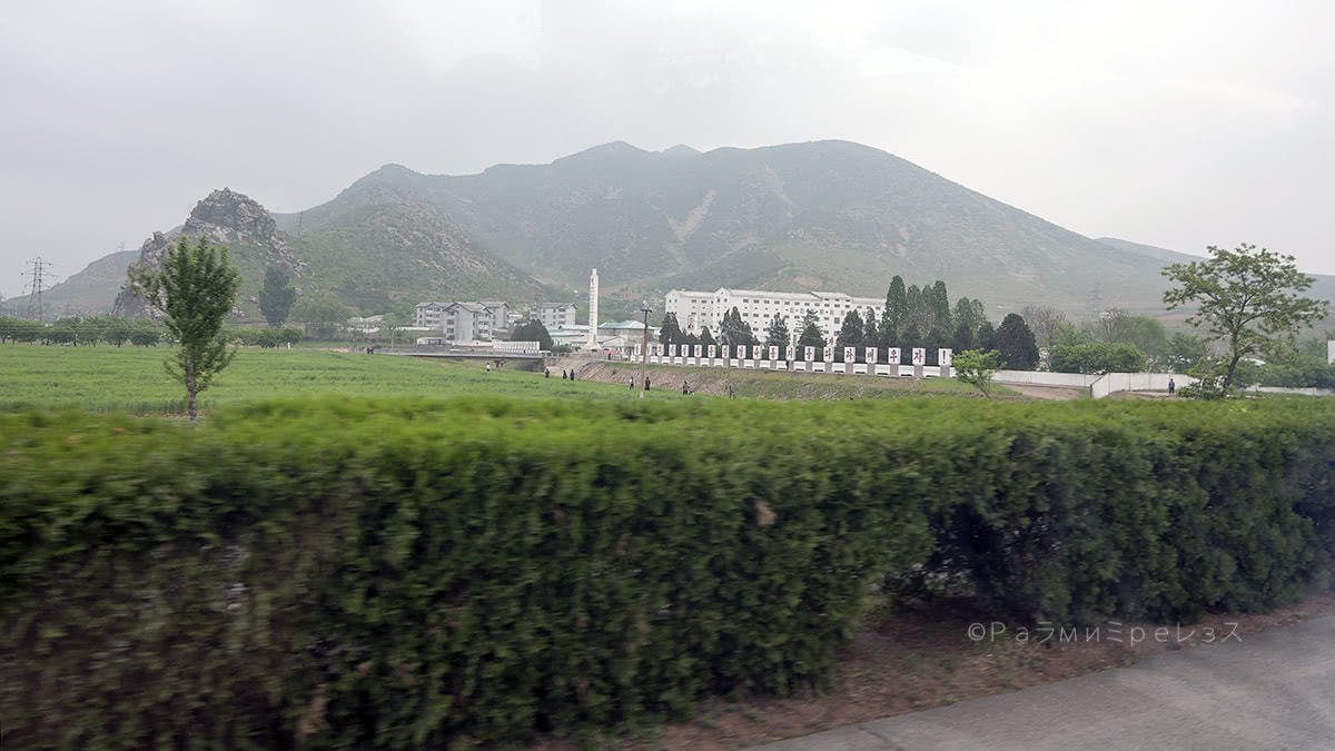

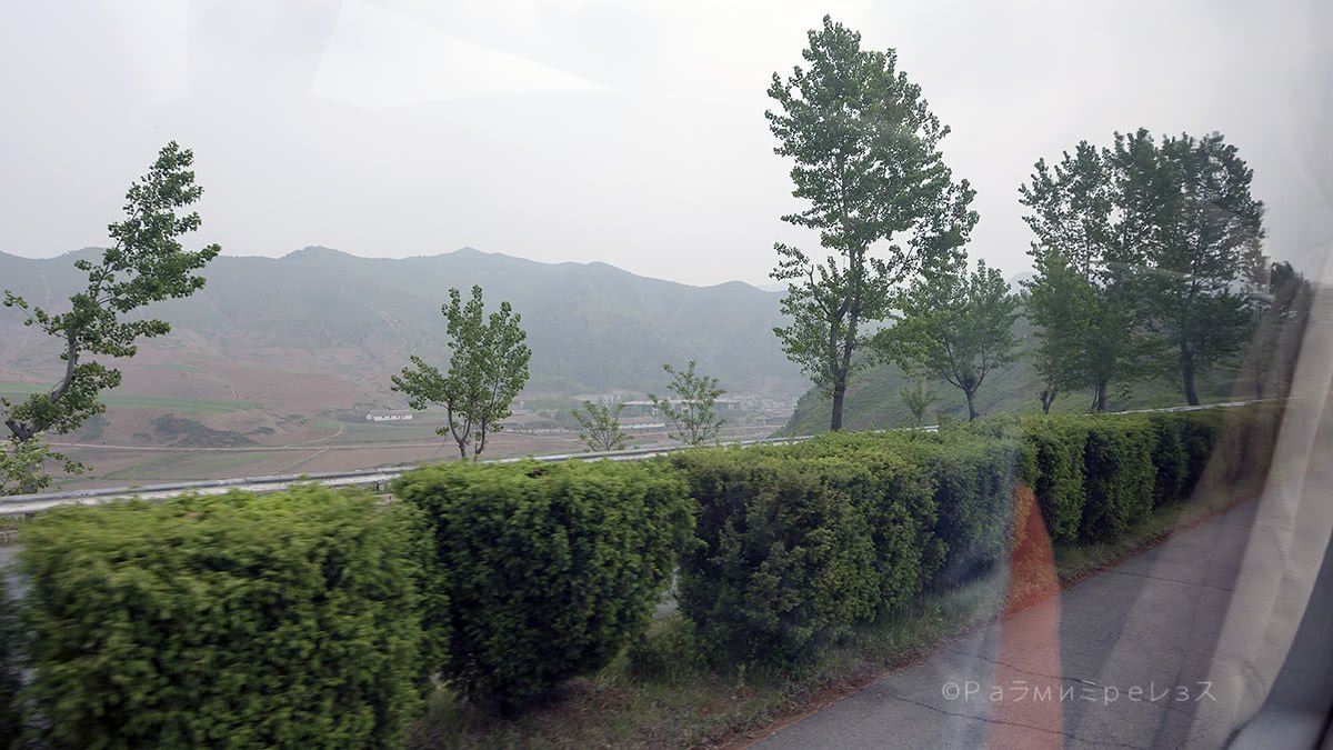
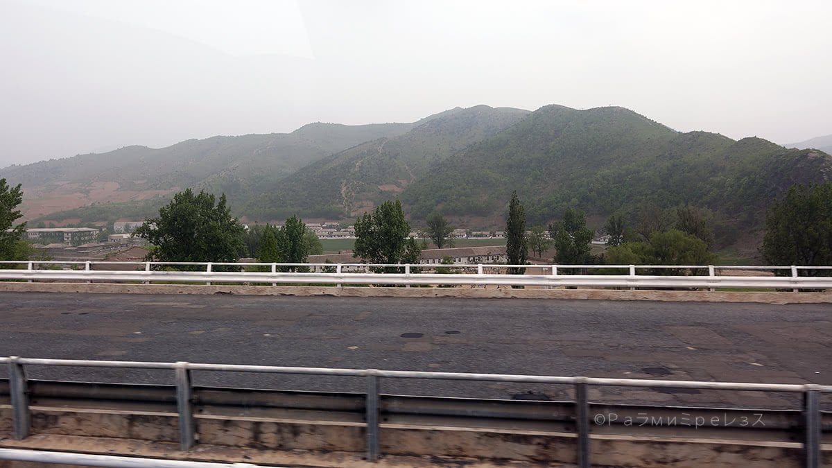
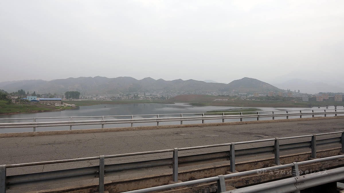
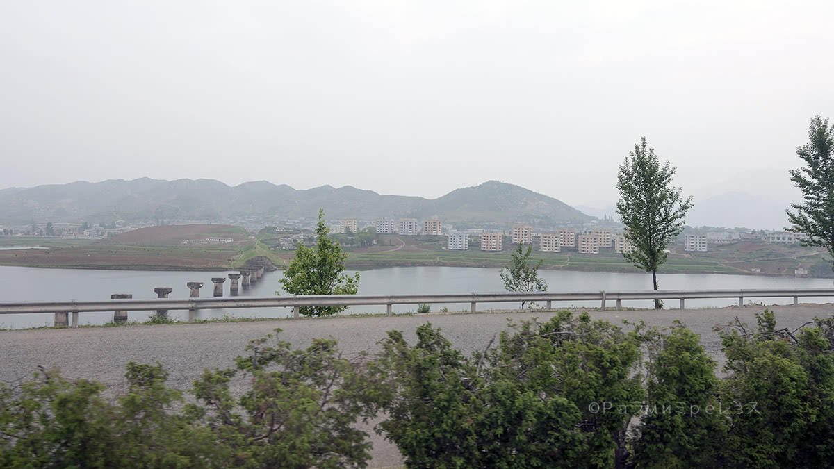
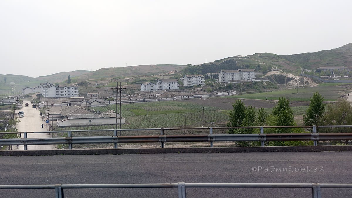

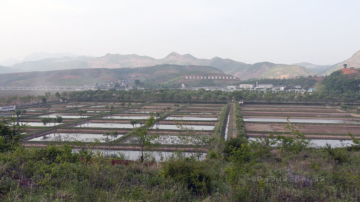
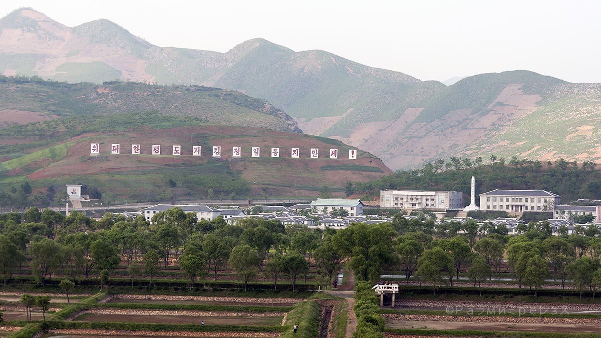
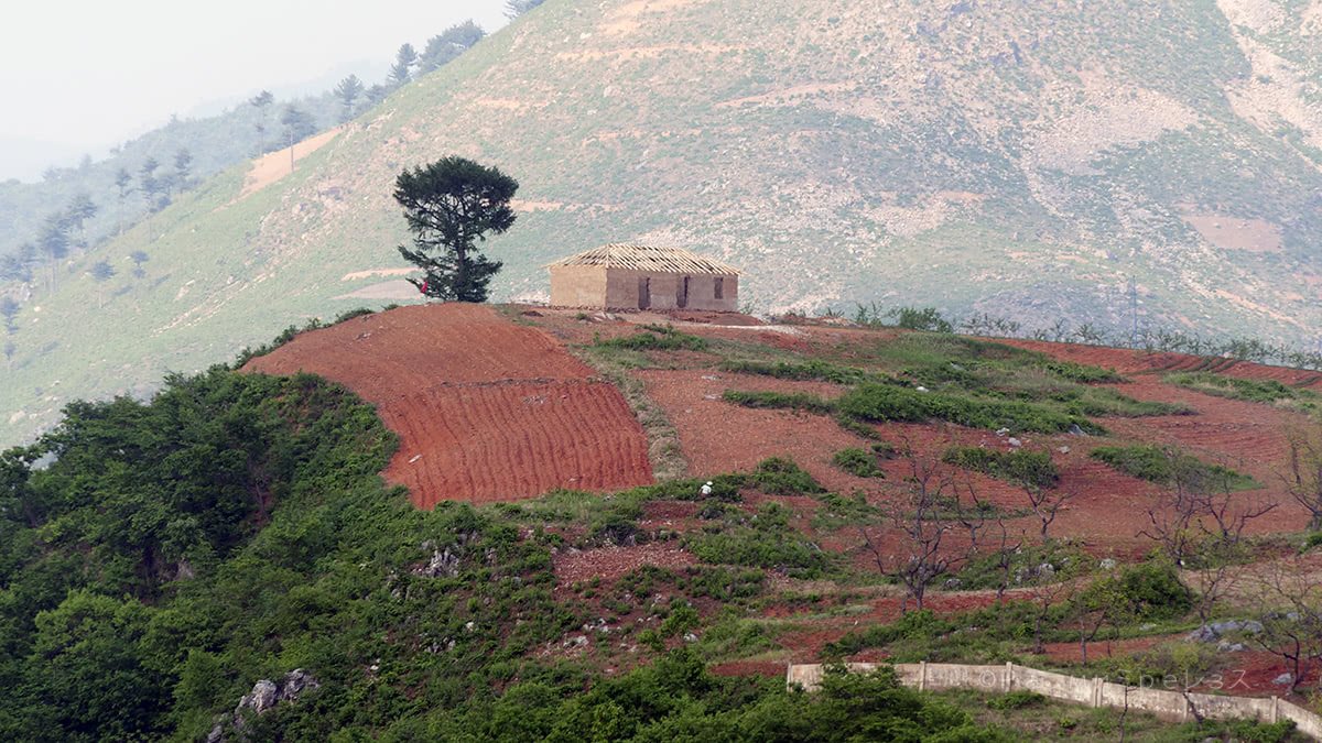
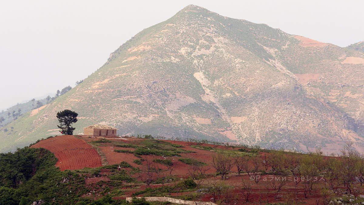
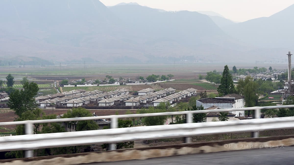
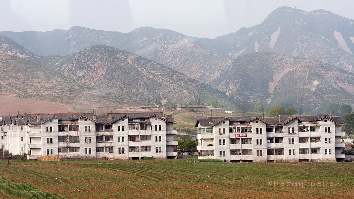
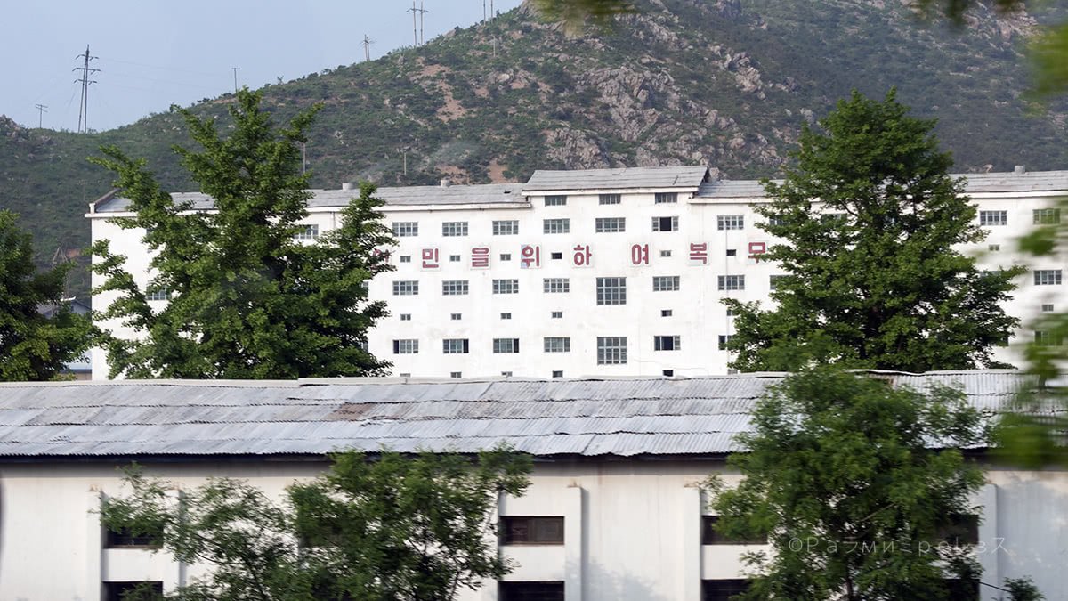
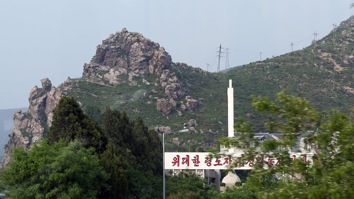
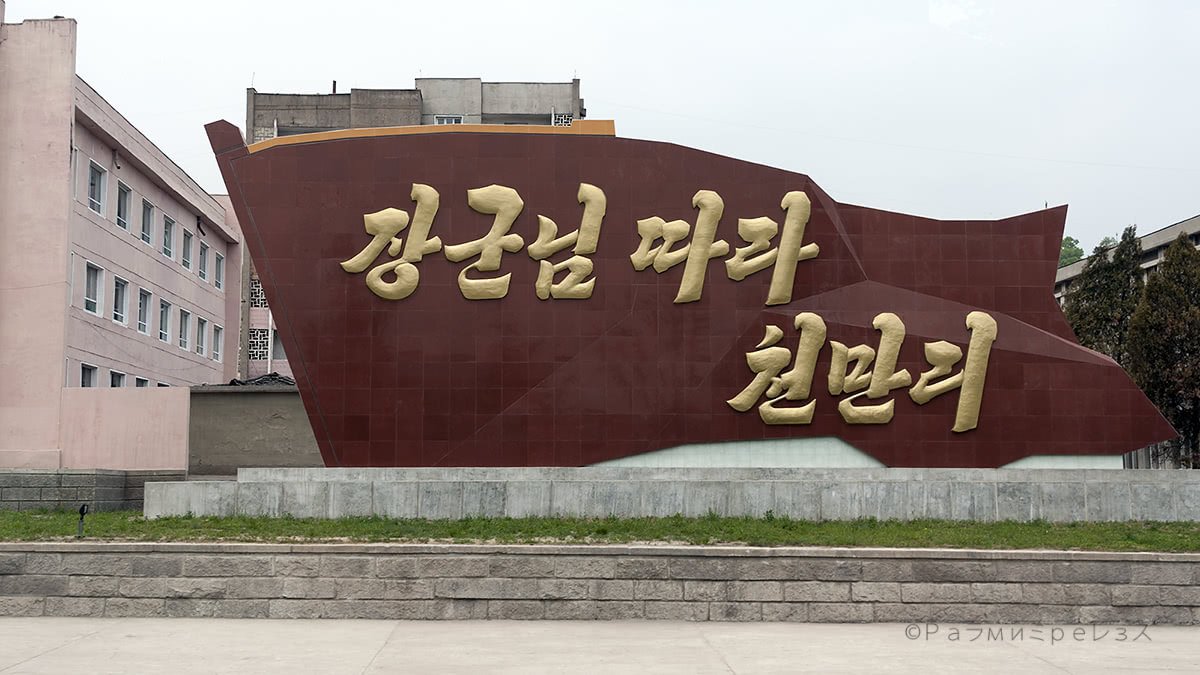
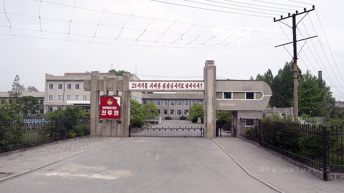
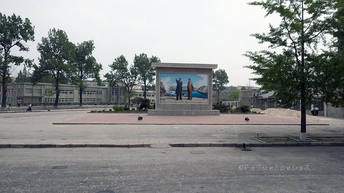
Some photos of the route between Pyongyang, the DMZ and Kaesong.
In theory, there’s a train that crosses the DMZ. But it has actually crossed only a few times, and always carrying cargo.
It was put to service when South Korea’s “Sunshine Policy” was in place some years ago. Easily the period in which the two countries have been the closest since the armistice.
The tracks are there, and there’s a “reunification station” in Kaesong (you’ll see more about this later). But the crossing is closed for the time being.

Ramírez.
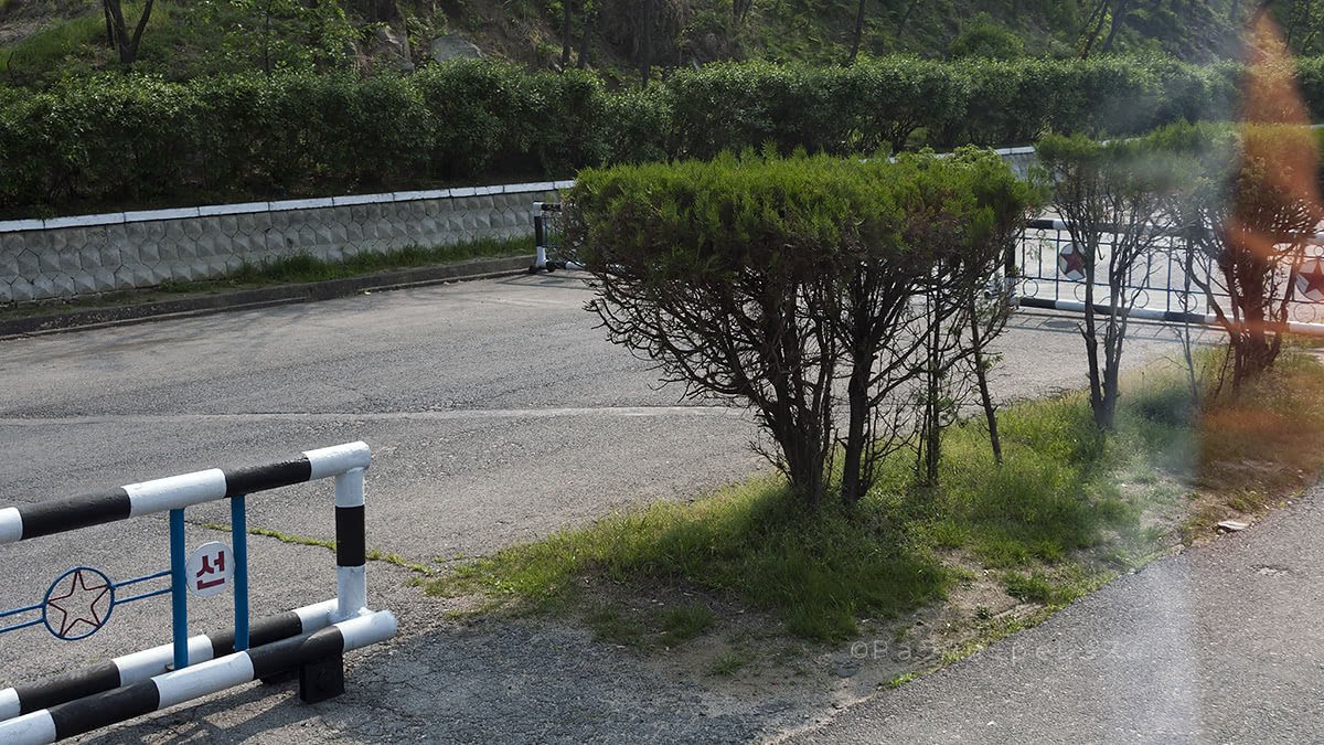
After reaching the DMZ, they tell you to not even think about crossing or you’ll get shot at, or step on a mine. And it’s DEAD SERIOUS.
In November 2017, a North Korean soldier defected to the south through the DMZ and it almost cost him his life. They shot at him about five times, but he lived in the end, and his condition is stable at the moment of writing this.
That’s the level things reach in the DMZ. And you’re not going to get better treatment than the soldier had because you’re civilian, should you decide to pull a little something like that up there.
It’s not the first time that it happens, but the risk does not go lower because it becomes more frequent. See the video below.
Visiting the border it’s much more complicated and apocalyptic from the south, as I would experience myself a couple of years later. But anyway, we’re in the north now, the rest will come later.
At some point in history, there were also soldiers that crossed the DMZ from the south to the north.
In the 60s, there were four soldiers from the United States that crossed the DMZ toward the north. There, they got married and had offspring.
They had problems among themselves from time to time. And also appeared in films acting as evil imperialists or what have you, and that made them famous in the north.
Three of them died in North Korea. The other one could, after many years, go live outside with his daughters and Japanese wife.
He went right to Japan, and died there. He even managed to return to the United States and visit his mother, after settling the score with the US military as he was still a defector.
Ramírez.
Ramírez.
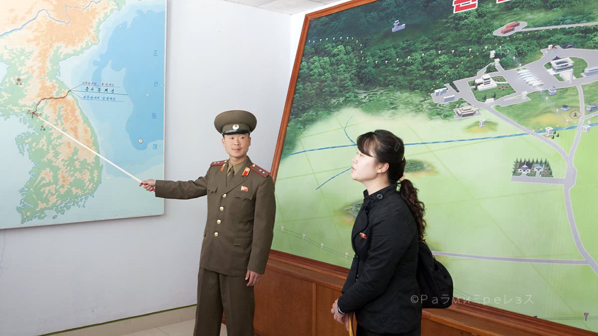
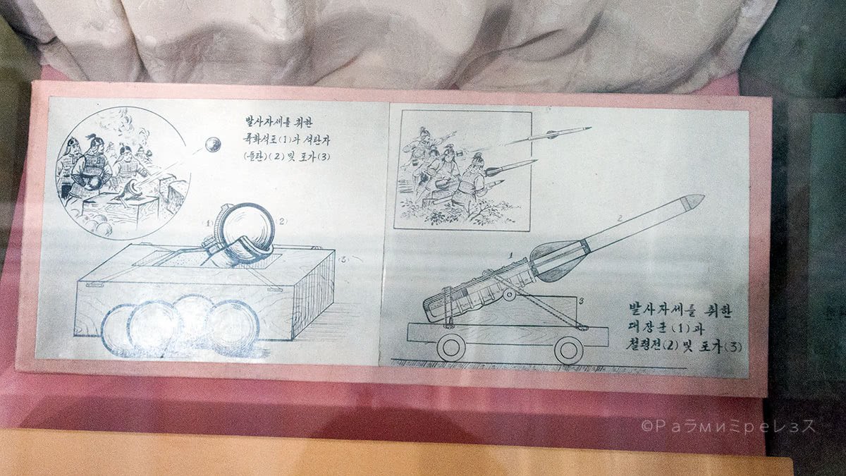
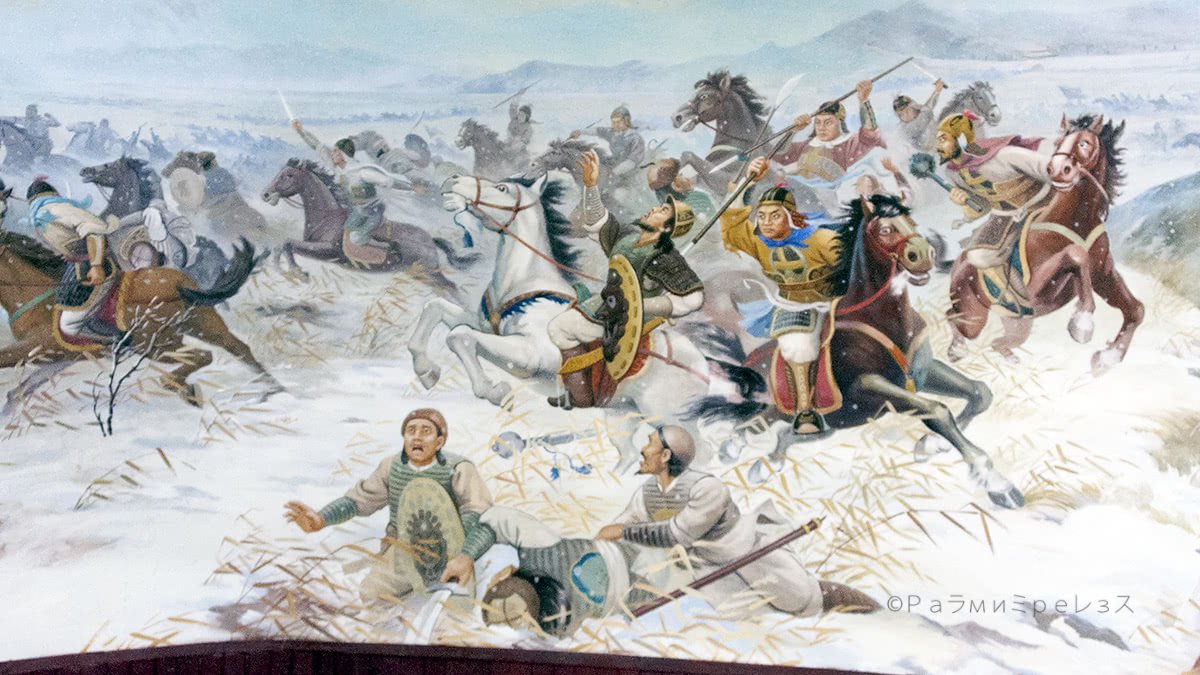
In the DMZ, when you come from Pyongyang, they show the history according to the north. That history is contrary to what’s generally accepted around these parts. Here they say that it was the north who started the whole thing.
It was narrated to us by a North Korean soldier that was maaaad at the United States, and would put a stern look whenever he had to mention them.
While he did so, one of the guides that came with us translated.
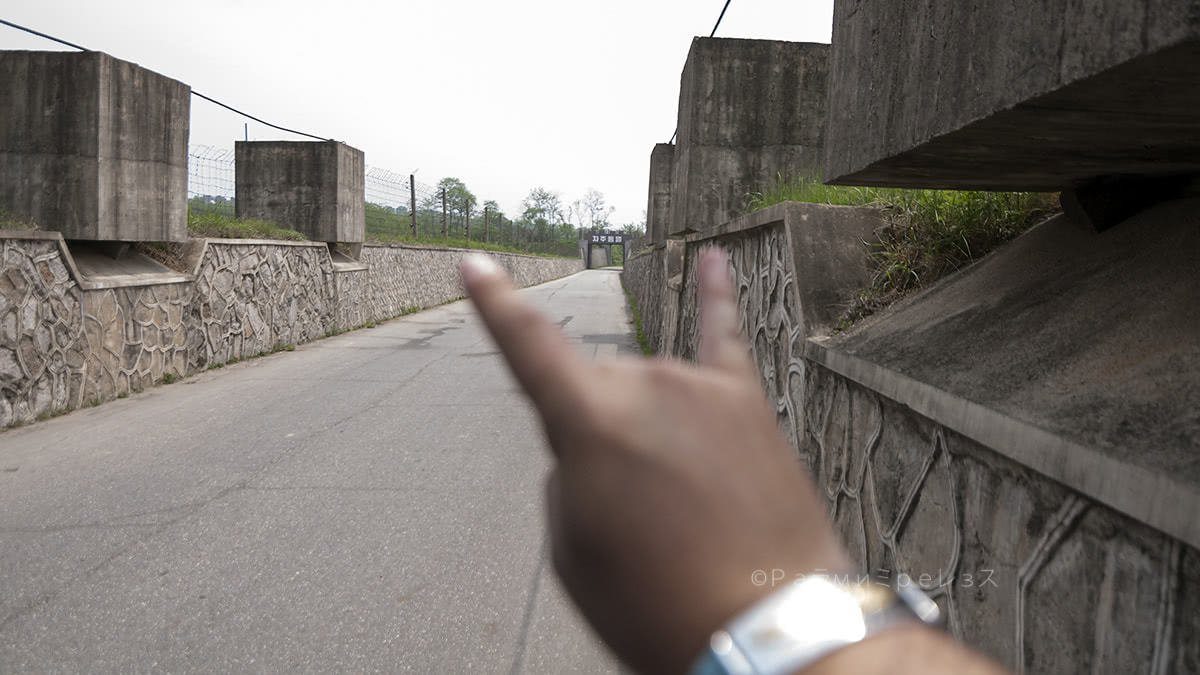
On the way, many anti-tank traps and devices are set up. Just in case the shit hits the fan and an invasion comes from the south. Many tunnels made by the north to eventually invade the south have been found underneath the border.
When you visit from the south, they let you in one of those tunnels. And they say there may be who knows how many that they haven’t yet discovered. The south’s forces are always on the lookout for tunnels.
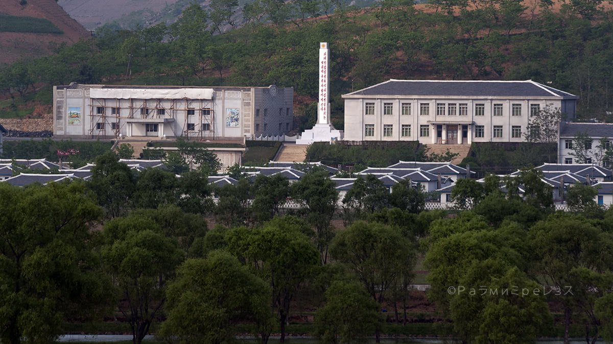
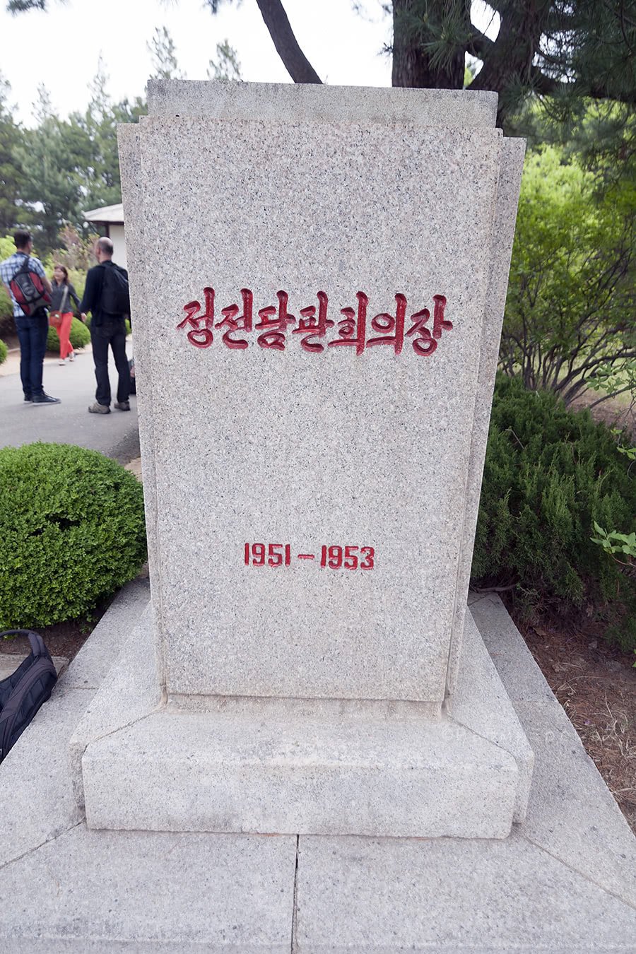
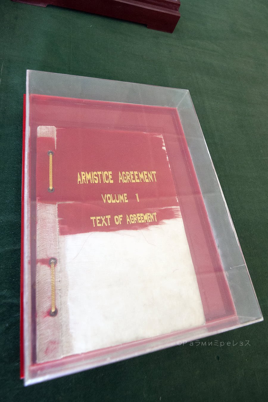
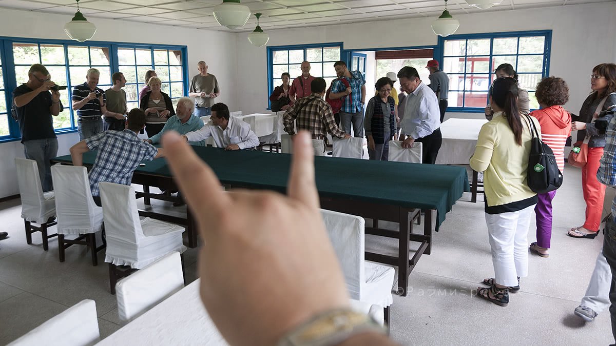
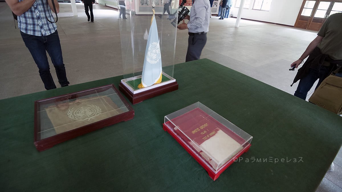
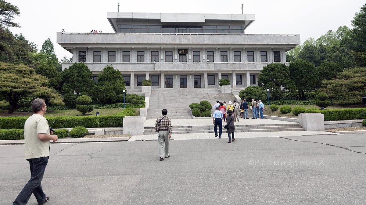
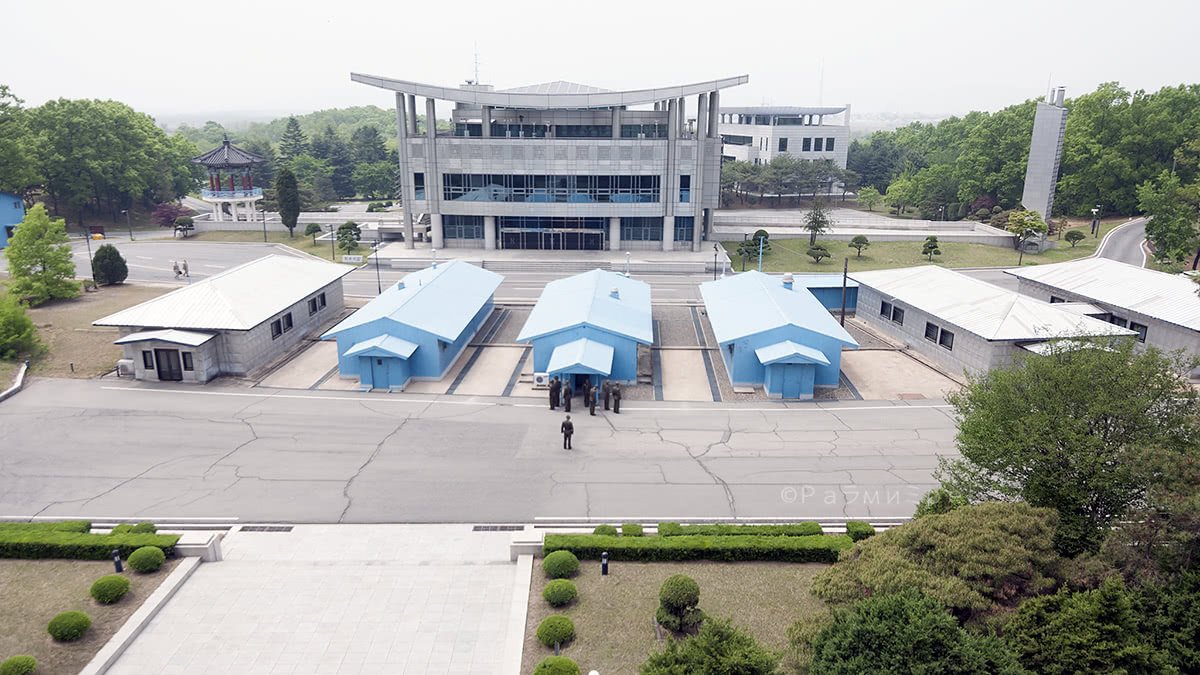
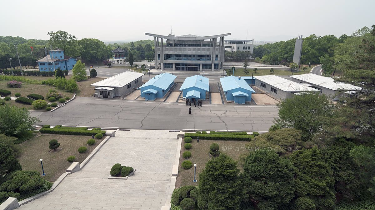
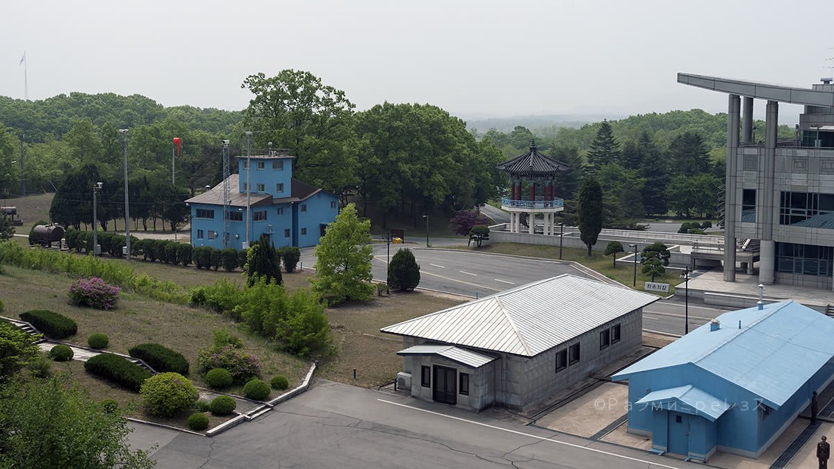
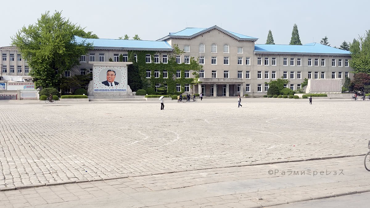
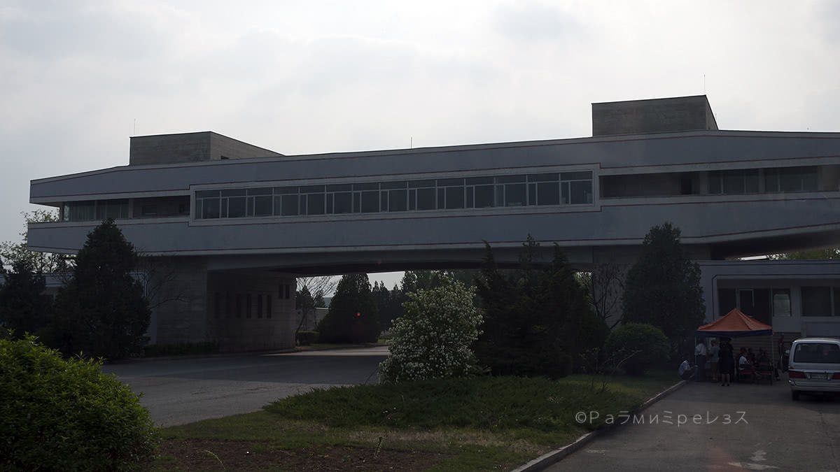
The place where they signed the 1953 armistice is open to the public. Nowadays it’s North Korea’s Peace Museum.
It’s the only building of what was the Panmunjeom village back then that’s still standing.
Ramírez.
Ramírez.

Ramírez.


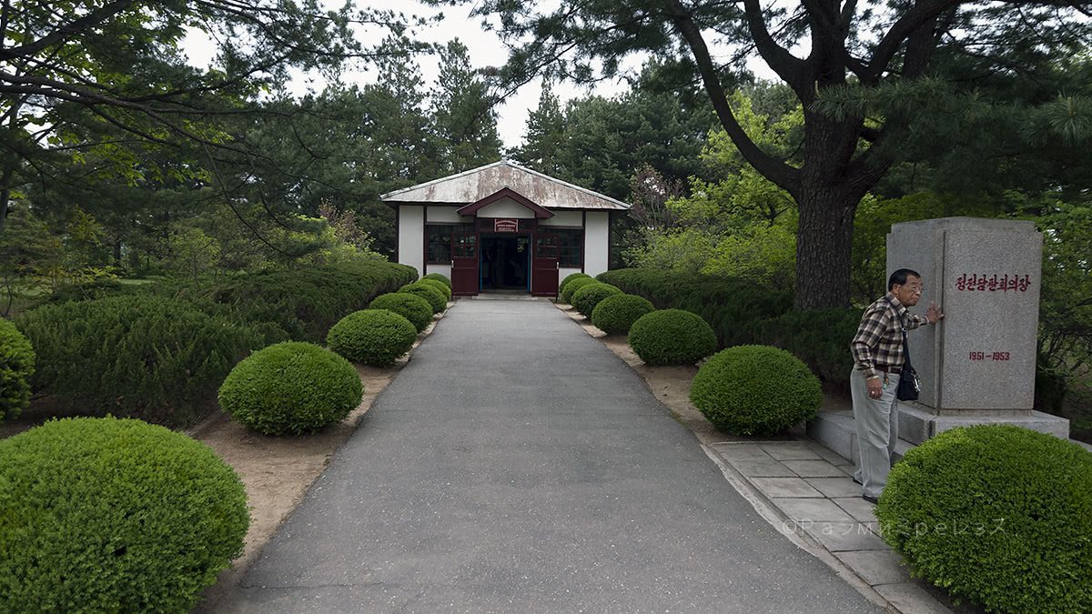
Peace Museum, North Korea, the place where the 1953 armistice was signed, and other photos of the northern part of the DMZ.
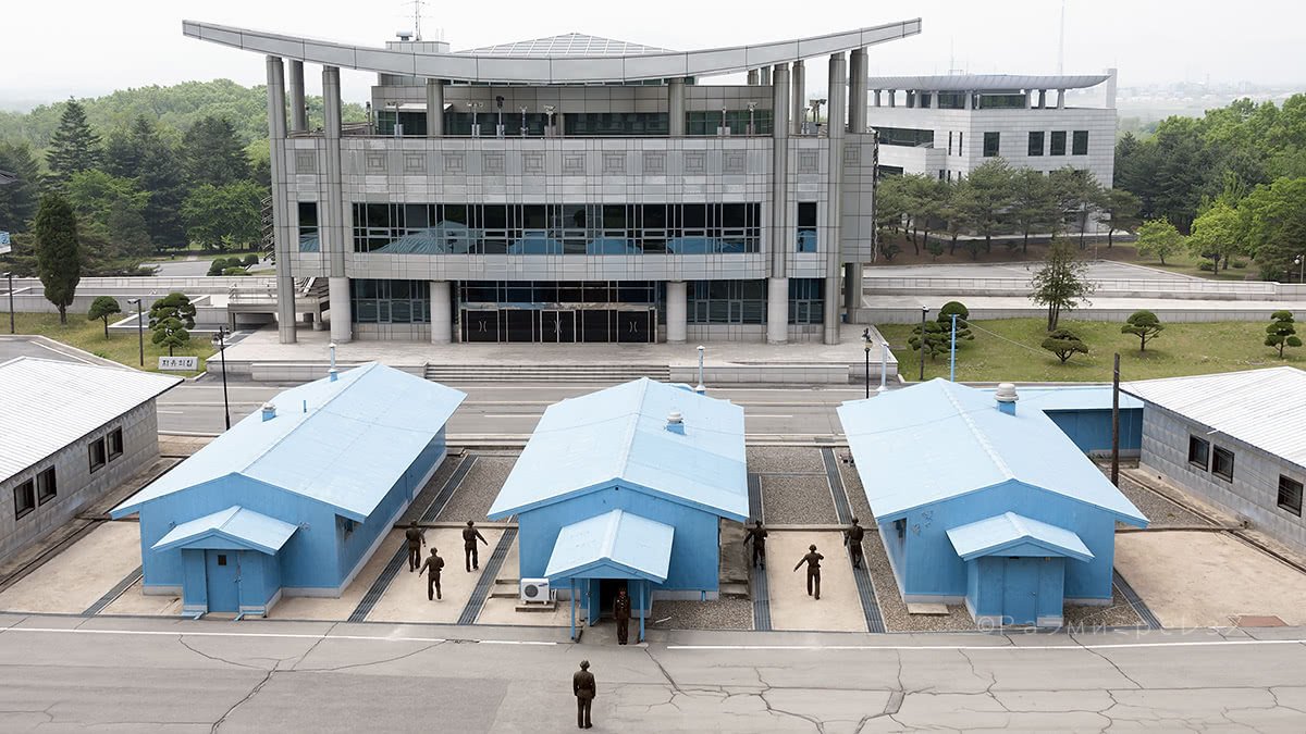
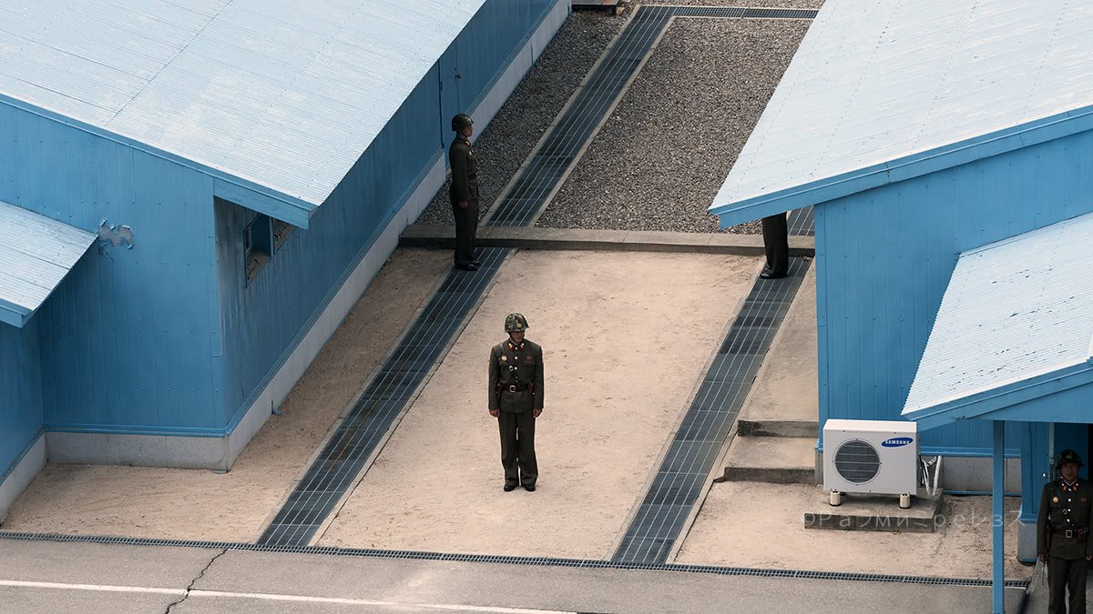
You are there in that place with all its history and context. And one of the really interesting things to do, is to go to the Joint Security Area (JSA).
It’s that little blue house that is literally half in the north and half in the south. It’s guarded by soldiers of the north on their side, and from the south on their own.
They look sternly at each other at all times. And I am sure they curse at each other mentally.
The south’s soldiers have a very specific taekwondo posture.
There have been several incidents there in the JSA. Some of them ending with a loss of life, so the security protocol is quite strict on both sides, but more so from the south.
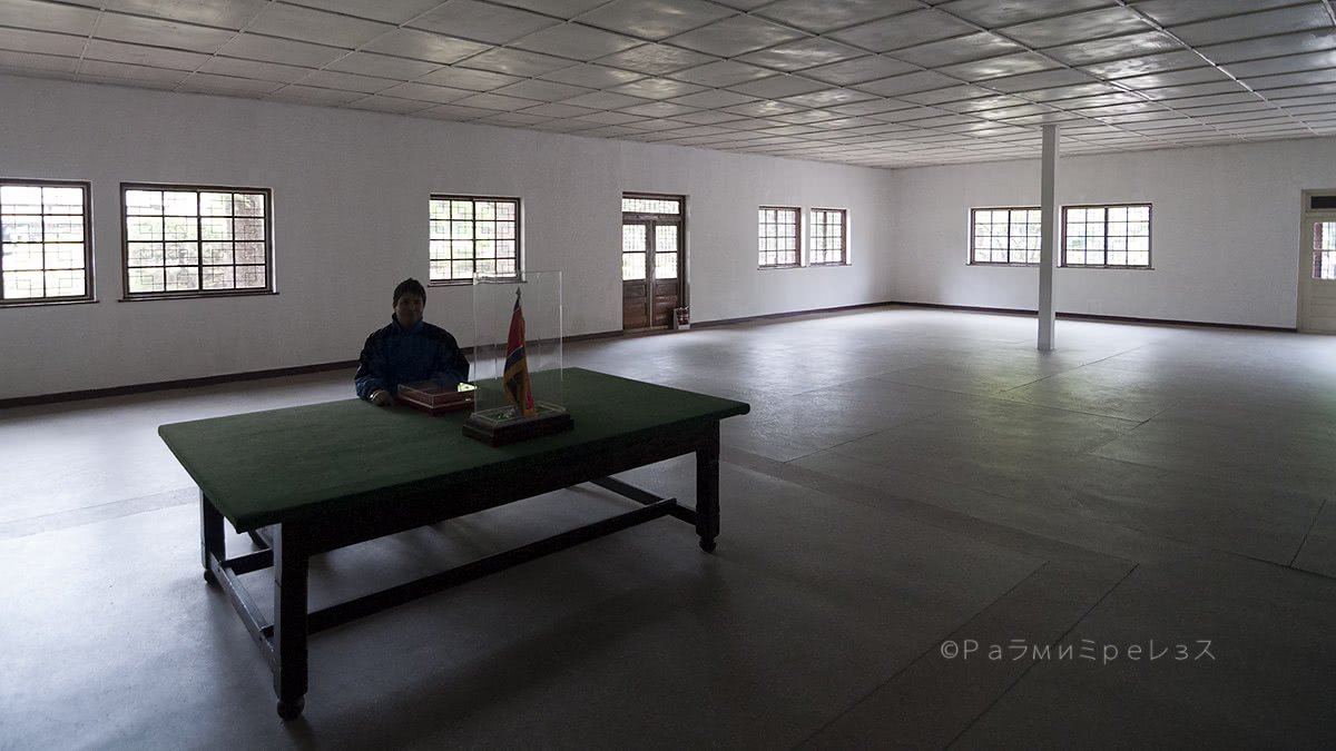
Inside the conference room, only the soldiers from the side that brought the excursion remain.
There are protocols for the door to the other side not to be opened. That is so that you can’t open the door to the south and run if you came from the north, and vice versa.
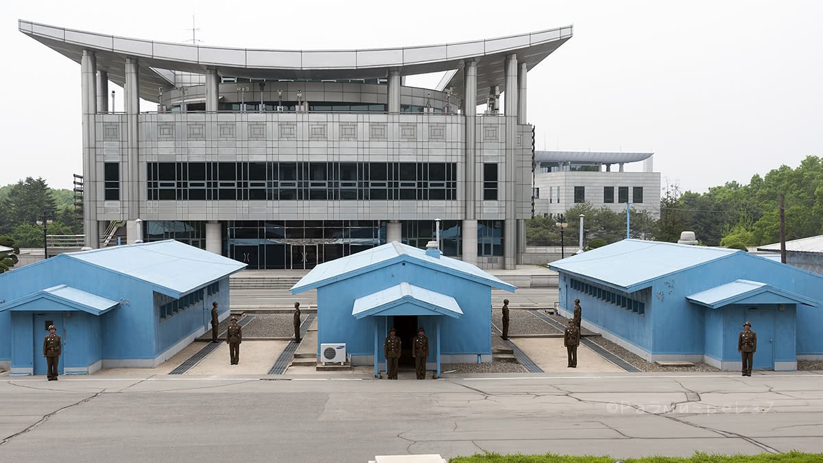
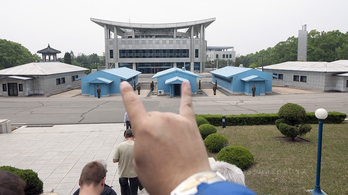

Panmunjeom, border between North Korea and South Korea.
People tried that before and created many issues.
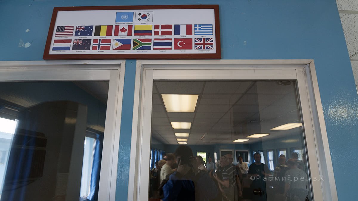
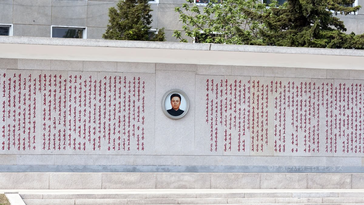
Inside that very historical conference room, there’s a frame with the flags of the countries that took part in the war. Including Colombia and the United Kingdom, the two I am most interested in particularly.
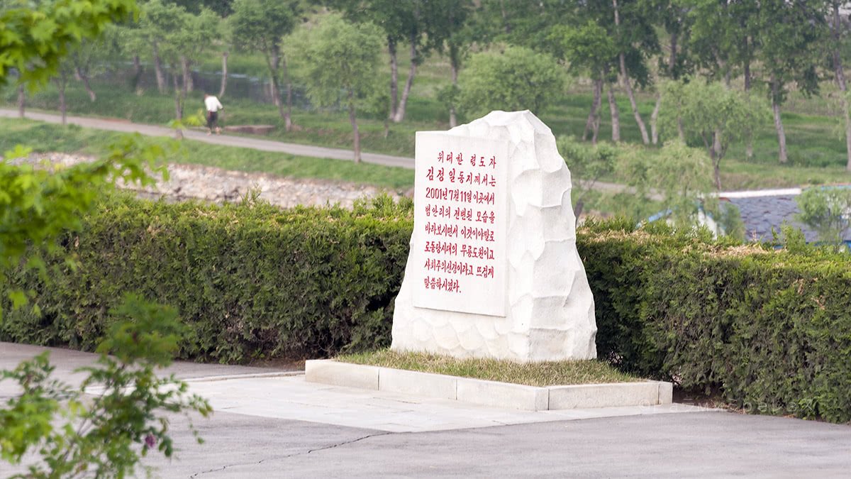
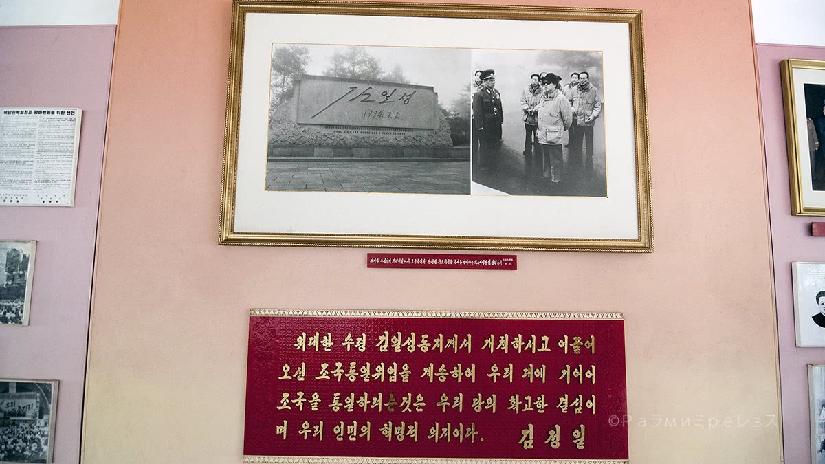
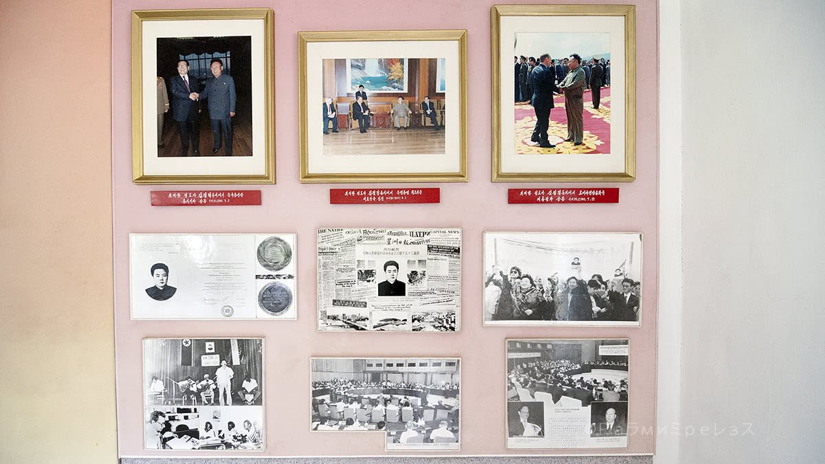
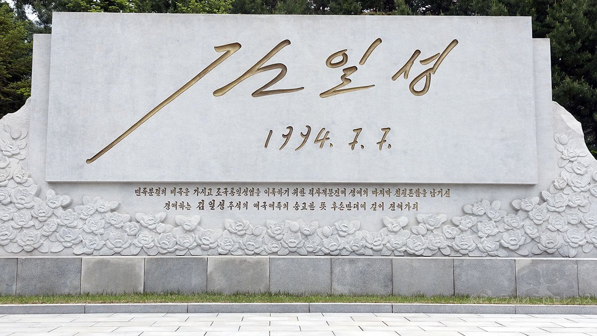
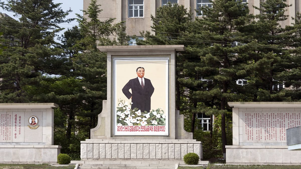
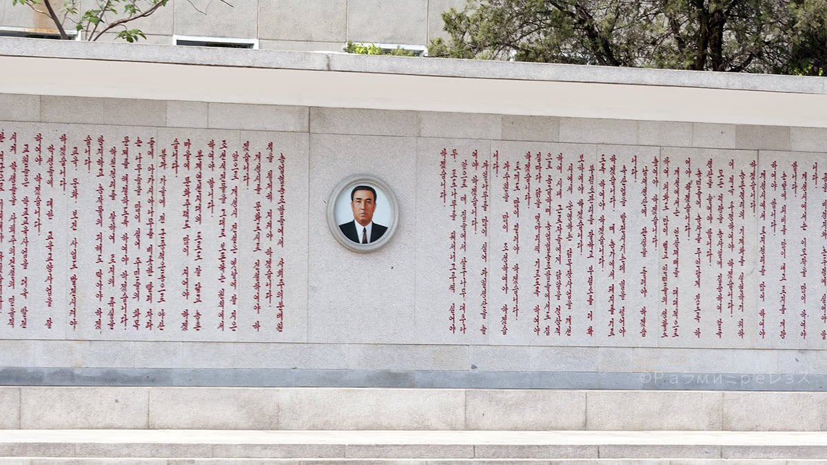
Another thing they have on the north side of the DMZ is the “immortalisation” of Kim Il-Sung’s signature.
They say it was taken straight from a document he prepared and signed just one day before he died. He died on July 8th 1994, the signature is from the 7th.
I read somewhere it was a document about the reunification or something, but I don’t know for sure.
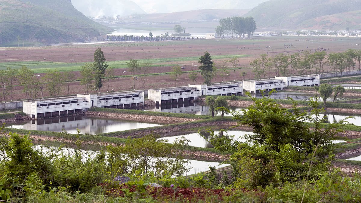
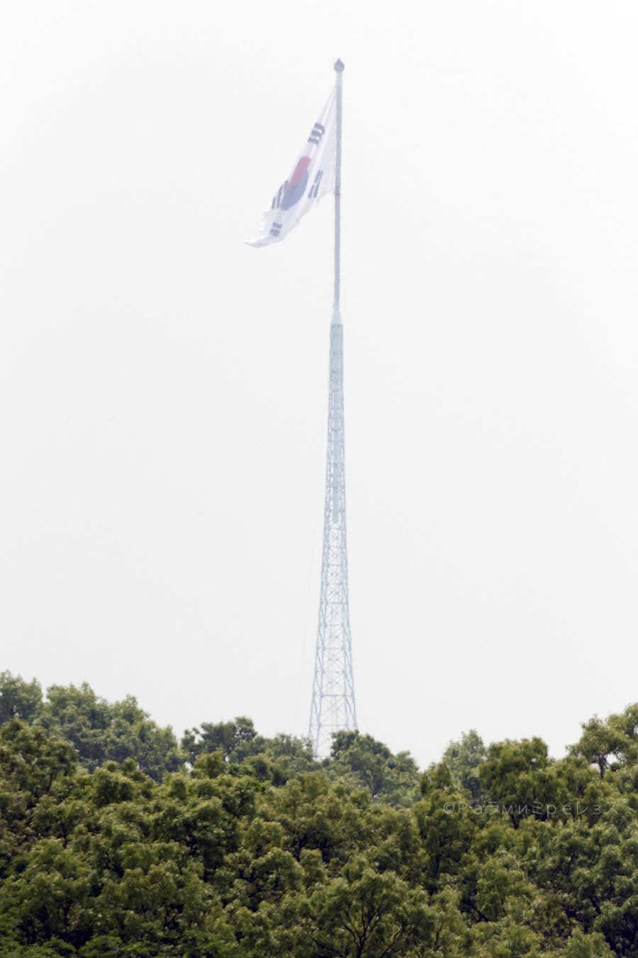
There are two little villages in the DMZ, one in the south and one in the north. The south’s is called Daeseongdong and it’s a small village that existed before the war.
Nowadays it’s inhabited and functional. But only those that were living there before the war or its direct descendants can live there.
They have a curfew at 23:00, and a headcount as if it was some jail. Besides, if they want to invite someone from outside, that person has to arrive with a military escort. They also need to arrange the visit two weeks in advance.
On the other hand, people living there are exempt from taxes and conscription.
South Korea placed a huge flag there in the 80s, which takes us to…
Ramirez.
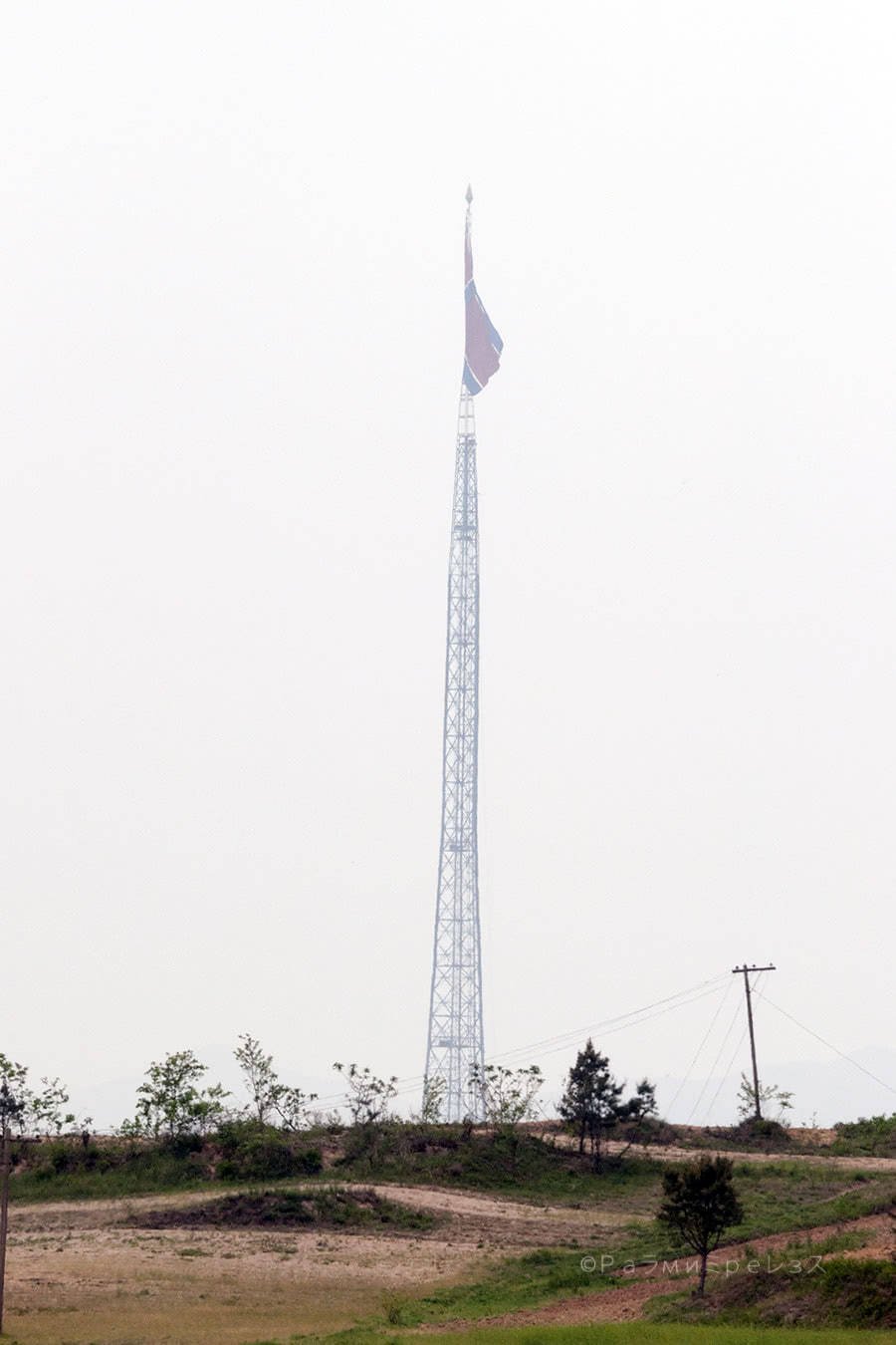
…Kijongdong.
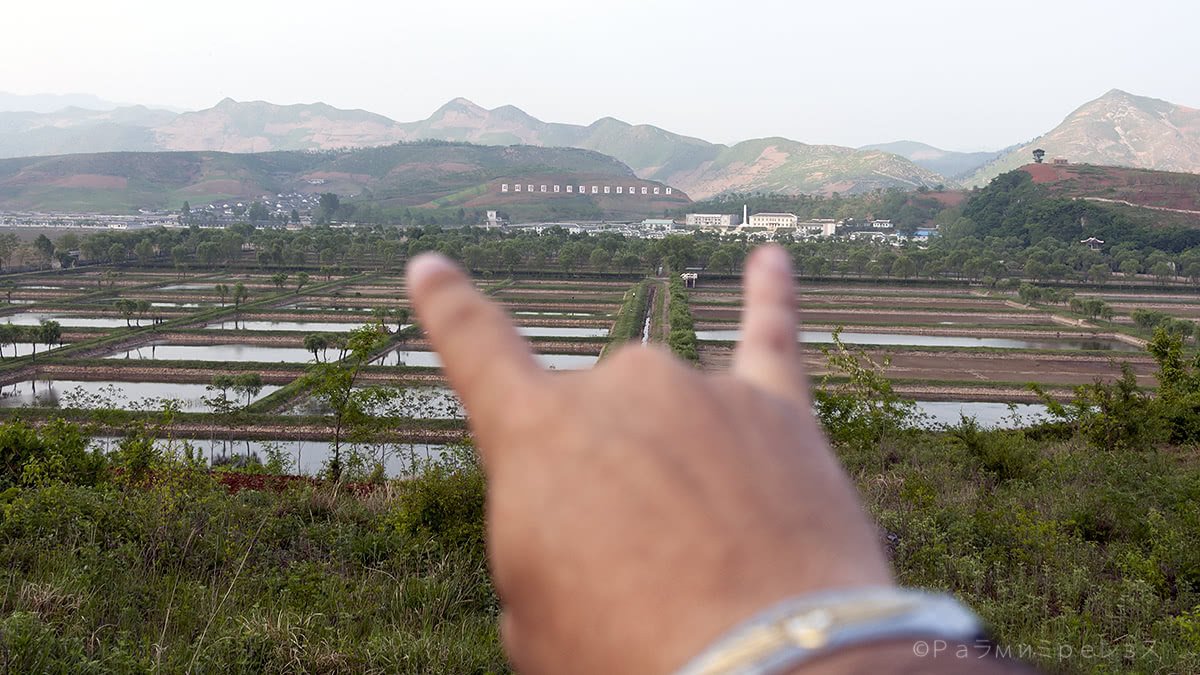
Kijongdong is the DMZ village on the north. And there, North Korea placed what was the tallest flagpole in the world for a decade.
Nowadays it’s about the fourth tallest, and they did it as a response to the flag the south had placed.
Ramírez.
North Korea’s government says it’s a functional village with a nursery, a hospital, and all the essentials.
The counterpart says no one lives there, and it only has propaganda purposes. They claim the people that is seen from time to time is only cleaning or doing maintenance.
As if to give the impression of an inhabited village.
It’s called the “Peace Village” in the north.
From this village, North Korea blasts propaganda at the south with some gigantic speakers. The south does the same from a close place (they even blast K-pop at them), and thus, some speaker wars begin like if it was some Colombian coastal town. Or just a chav neighbour in Medellin.
From where I was in the DMZ, only the flag could be seen, and sort of far away at that. But when I had the chance to visit the border from the south two years later, I could see the village perfectly.
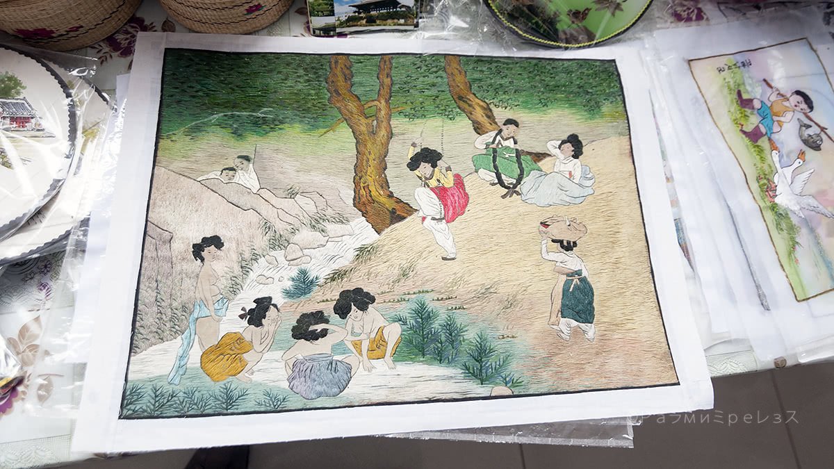
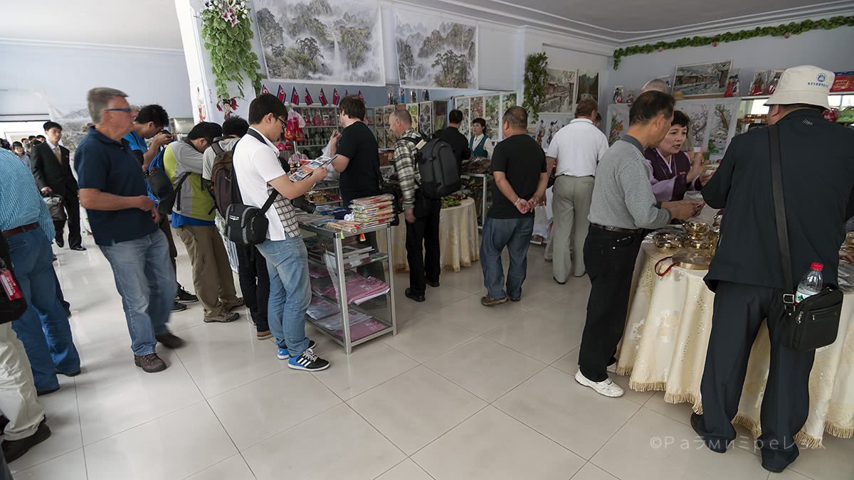
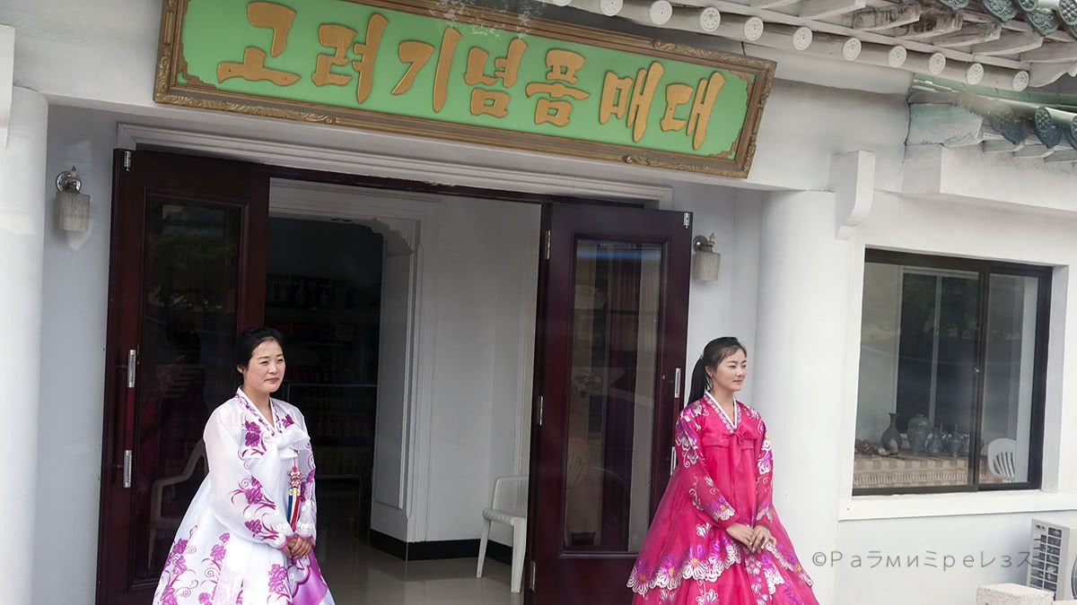
As in most places in North Korea where foreigners go, there’s a store there to buy something to drink and souvenirs.
When you are done there, the only thing you can do is to get in the King Long again. And off to Pyongyang it is, via the aforementioned road.
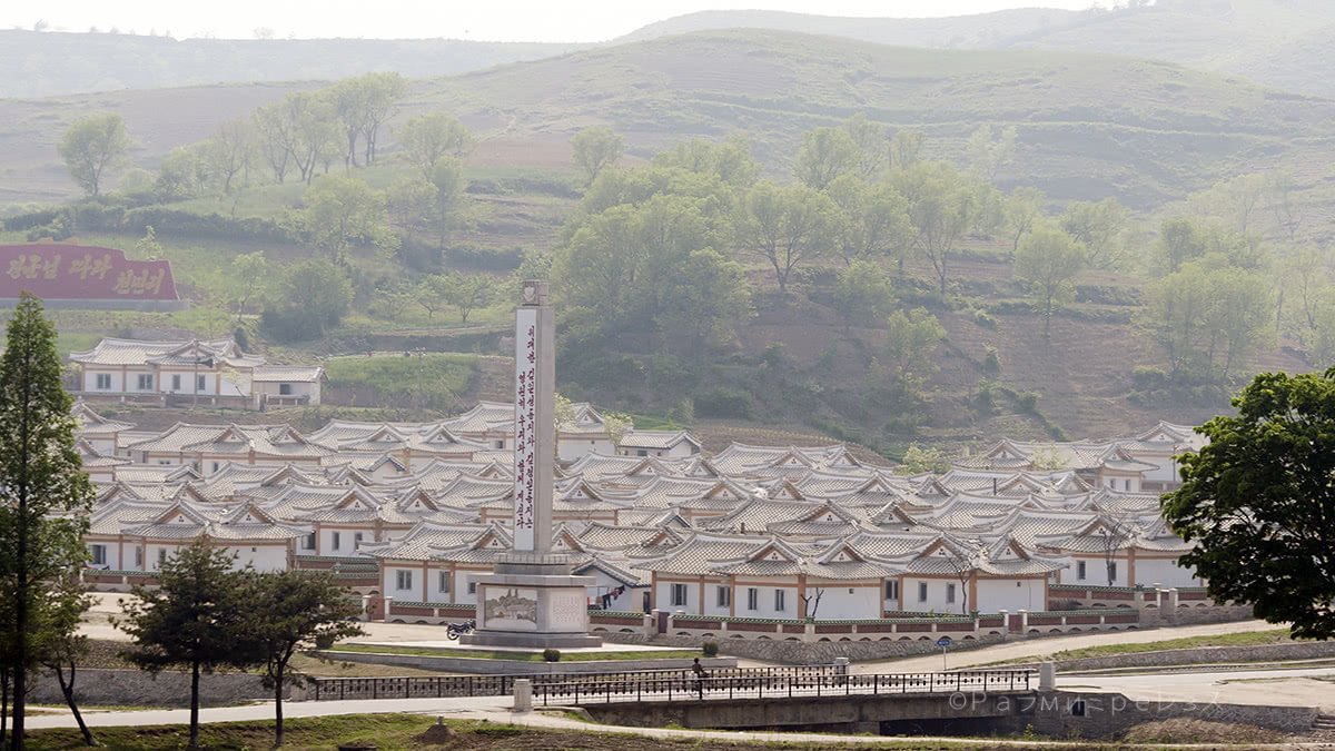
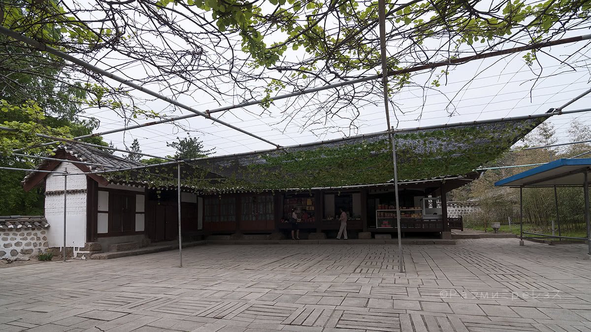
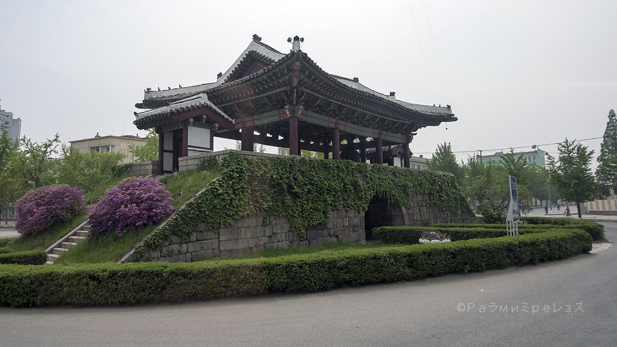
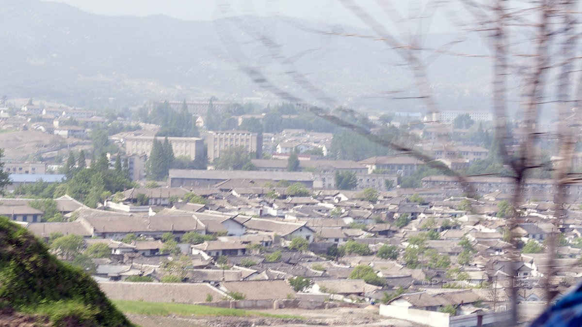
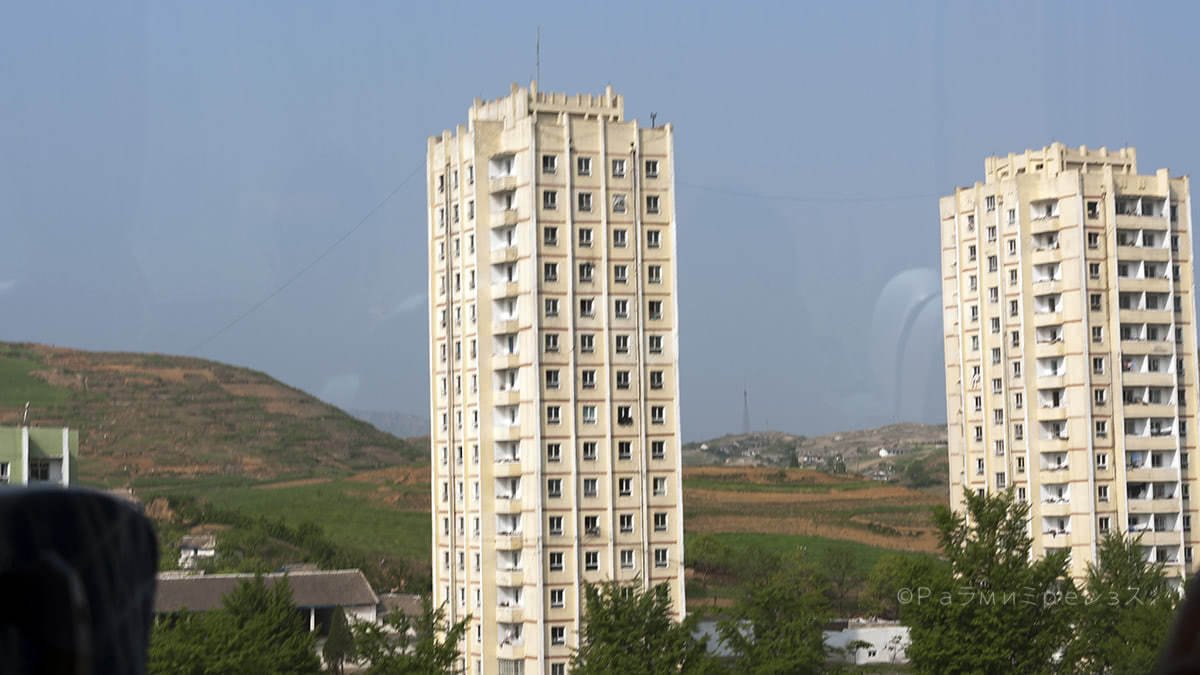
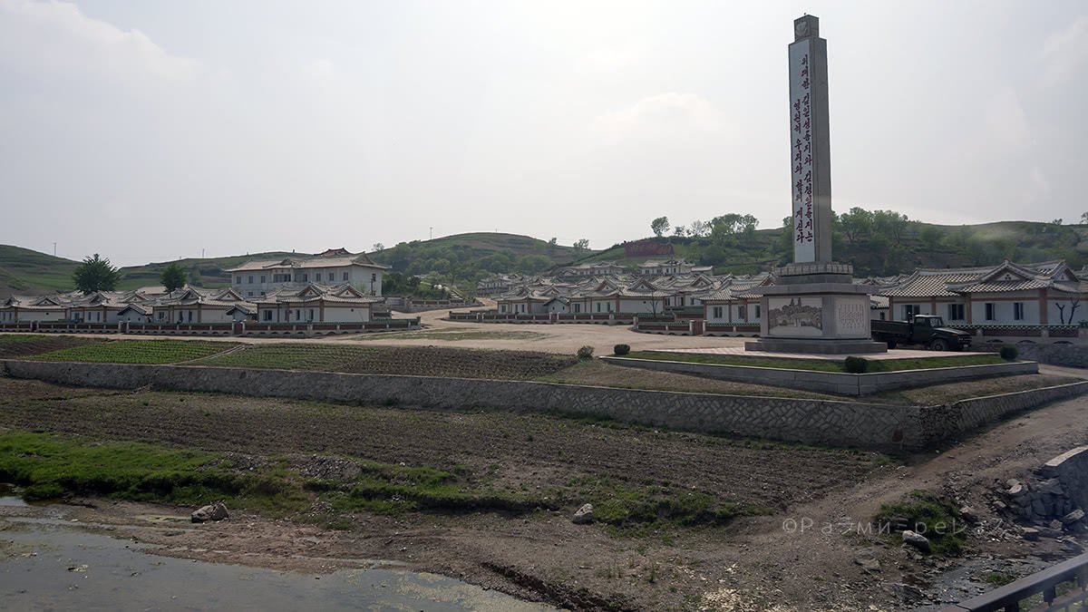
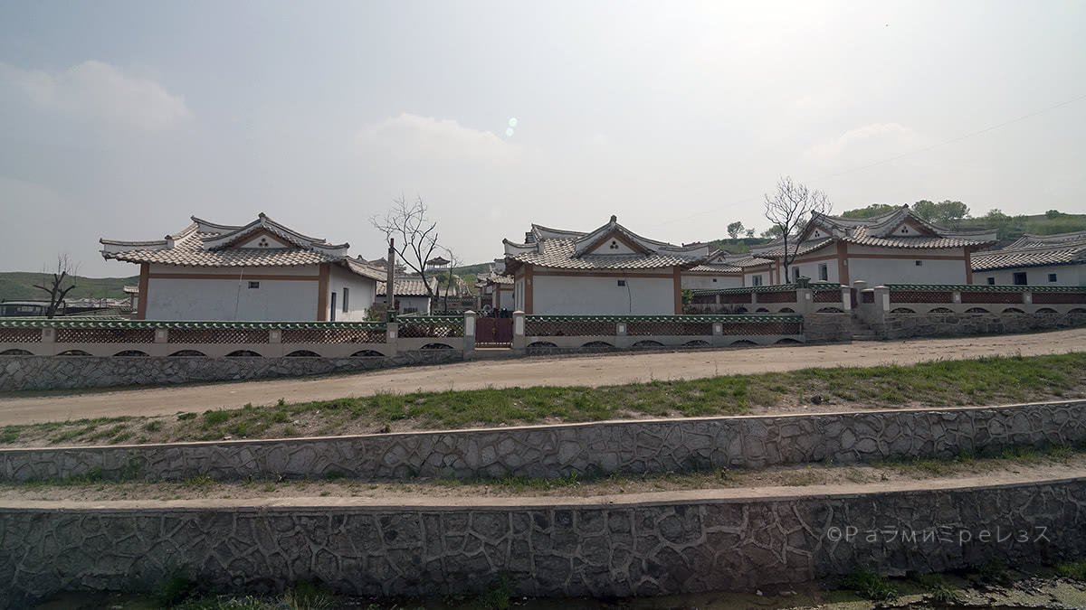
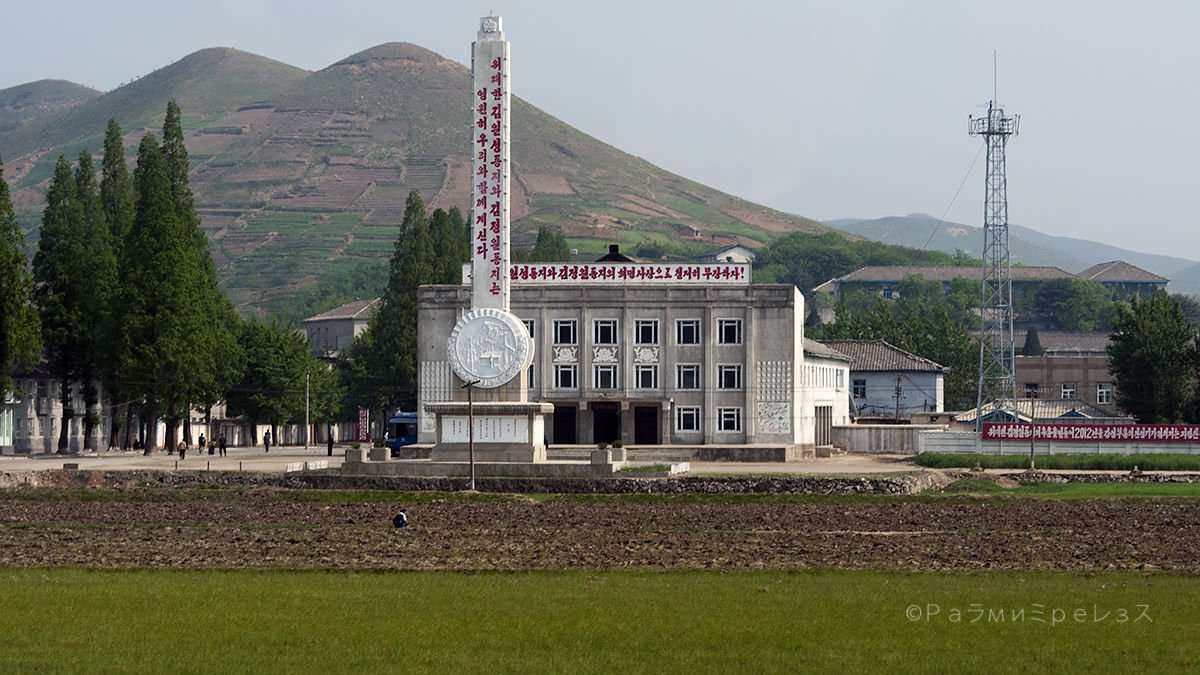
But in my moment, instead of going straight to Pyongyang, we stopped at Kaesong.
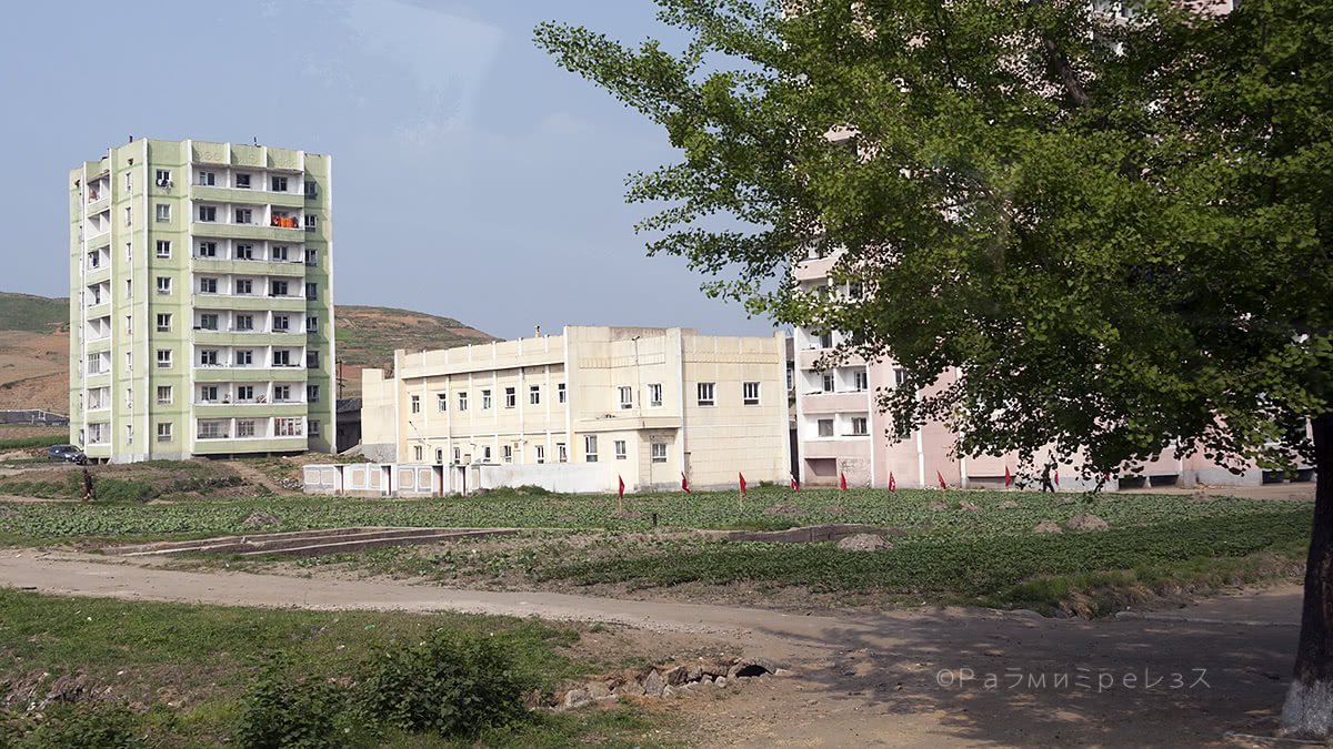
Kaesong is a city of some 200.000 inhabitants that’s kind of industrial.
As I mentioned before, it was one of Korea’s capitals in one of its bygone imperial presentations. And thus, it’s full of historical things.
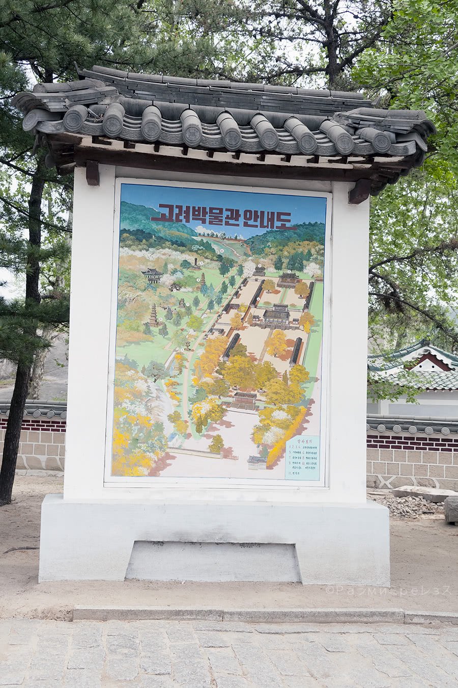
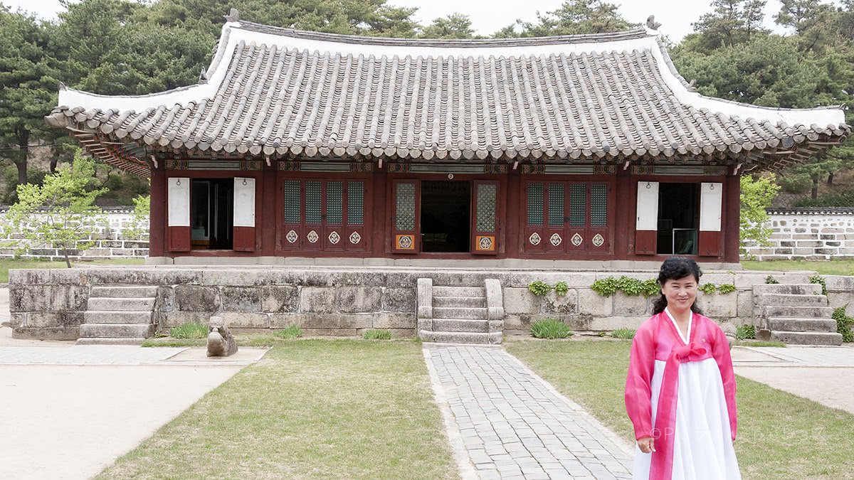
A museum, called Koryo Museum, is included in those historical things.
It hosts many artefacts from that period. They’re all inside a very nice building from the seventeenth century. It was literally built in 1602.
Ramírez.

Ramírez.

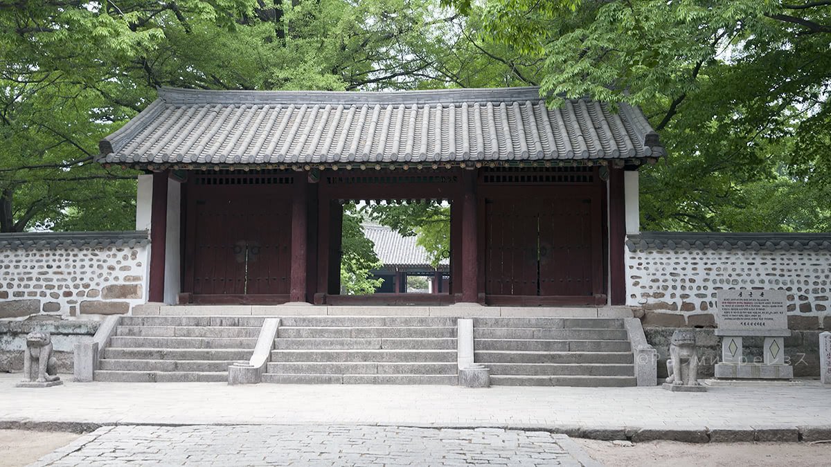
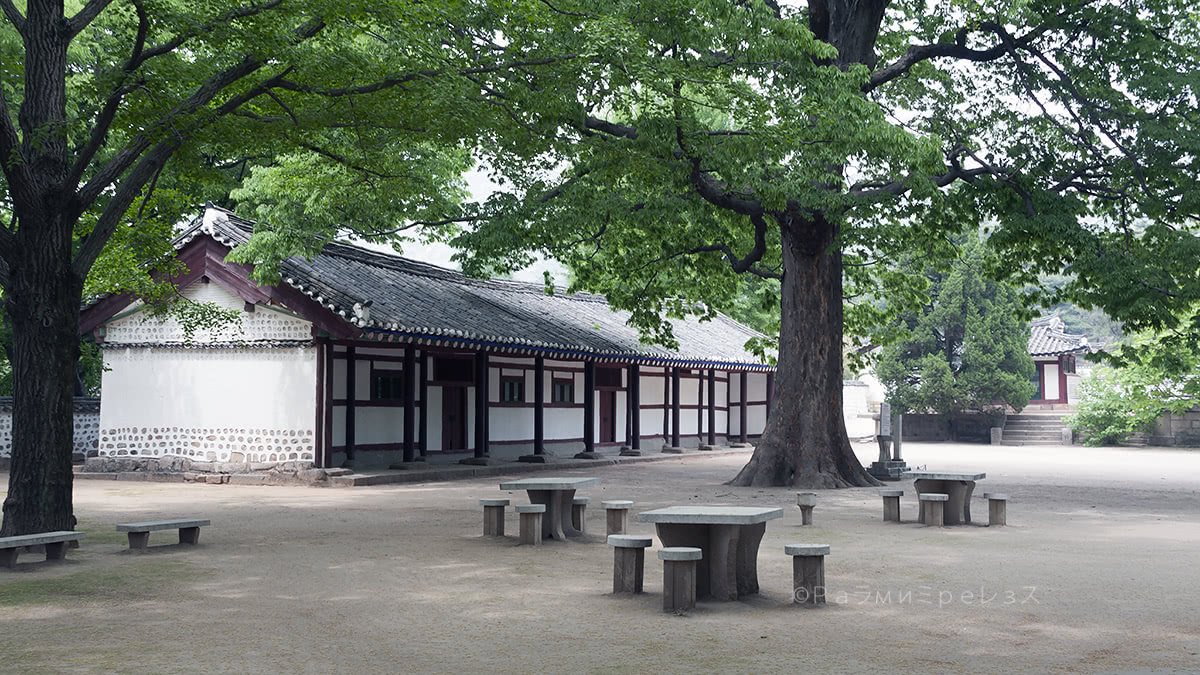
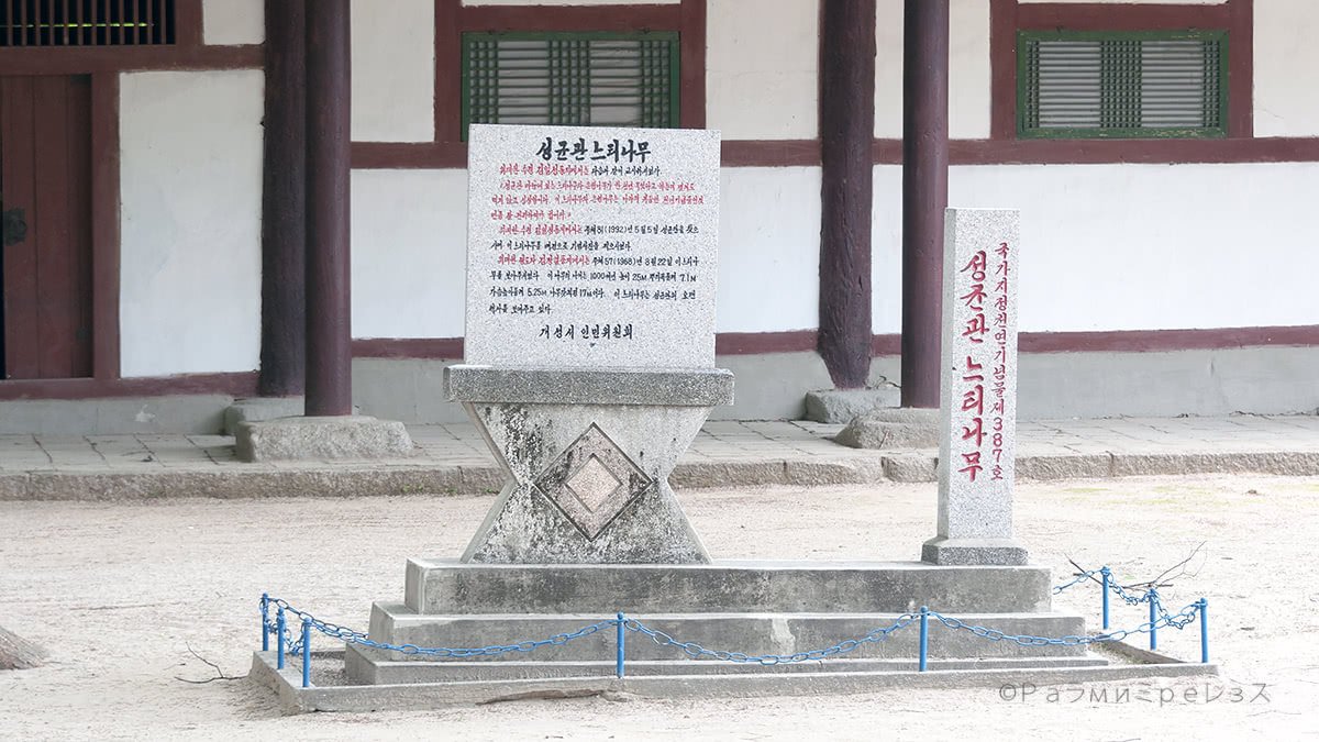

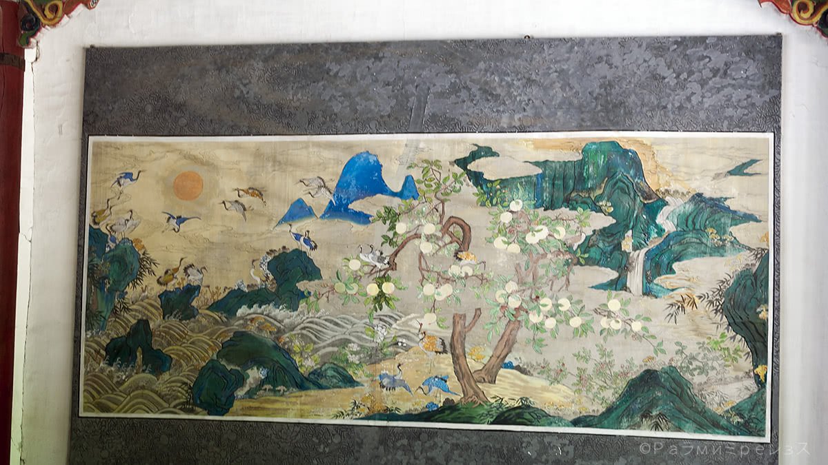
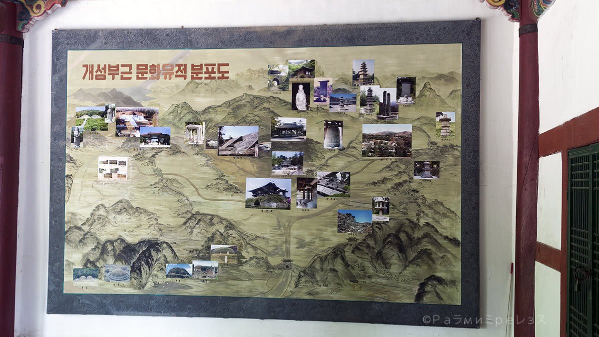
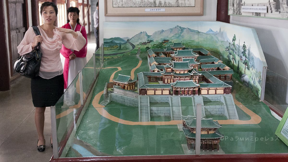
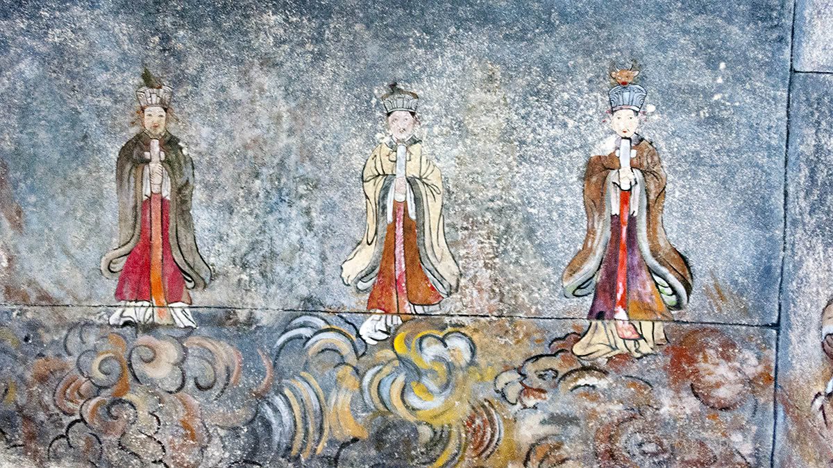
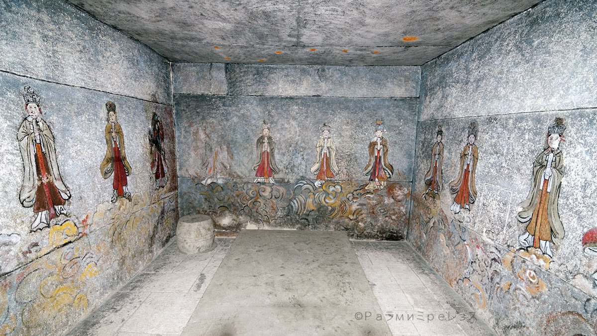

Koryo Museum, Kaesong.
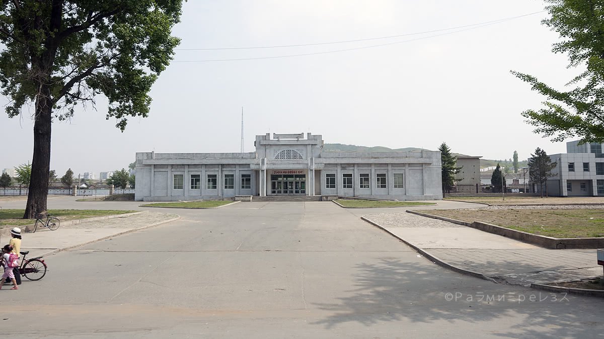
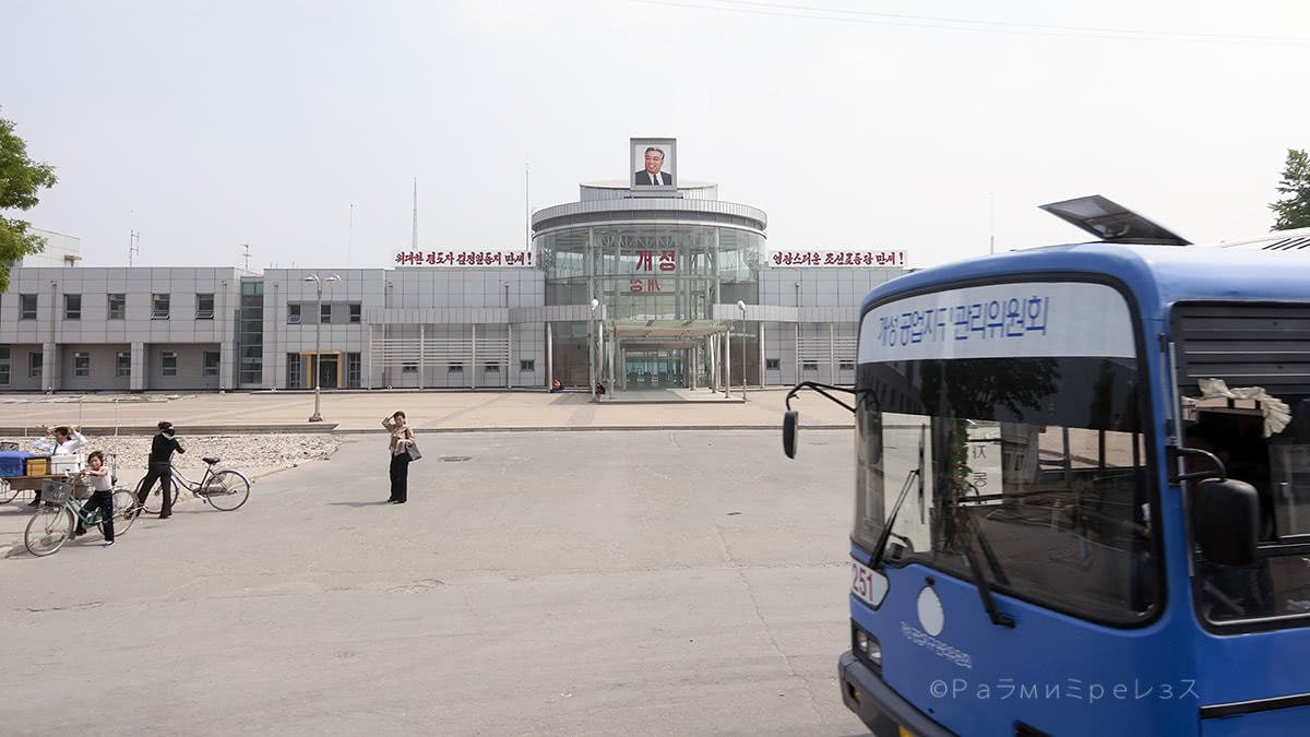
Kaesong has another curious thing going on, and it’s that it has an industrial zone shared with the south.
They’re technically at war, but since they have made a pause, they say:
-“Alright, let’s do business while we wait to see if we bomb the fuck out of each other again”.
It’s an industrial complex where South Koreans make various goods while paying North Korean labour costs. That is, cheap as hell compared to their own country.

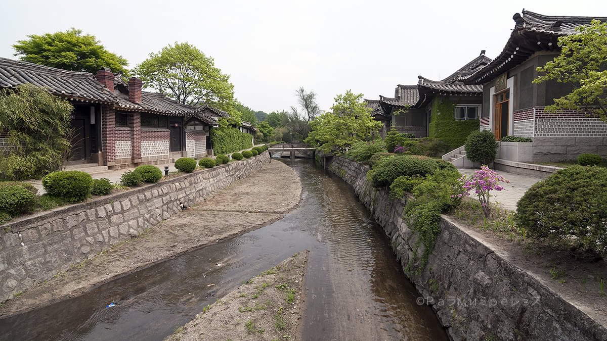
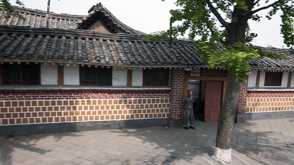
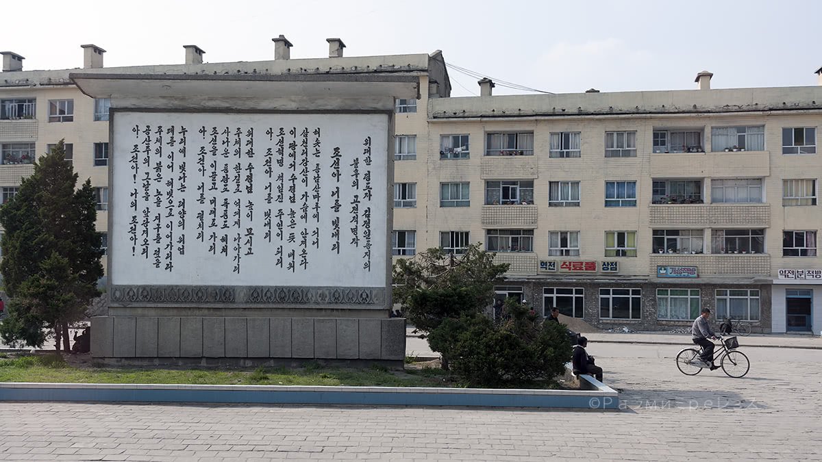
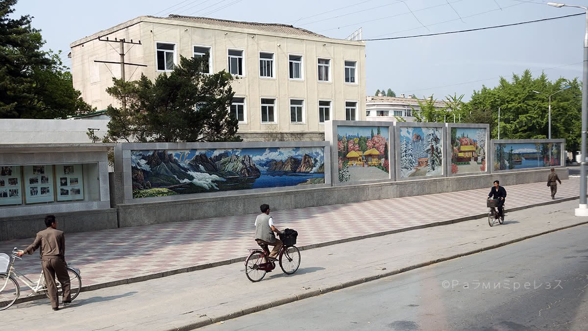
Some photos of Kaesong.
The north takes a lot of foreign currency that they use for their nuclear games and such, and some know-how.
And the south profits tremendously when they sell the goods made there. While, I repeat, they’re still at war in technically.
Ramírez.
At the time of writing, this zone has been closed for a good while, because of the various diplomatic skirmishes that are ever-present. It’s not the first time that it’s happened, even though it’s been the longest and most furious closing as far as I know.
Below you’ll see a promotional video of the industrial zone back in the good times.
Ramírez.
Ramírez.
The thing is, the industrial complex is located in Kaesong. And many South Koreans go (went) to work to the north daily. Who’d say!
Ah hahay ah hahay ah hahay, hi hi hi.
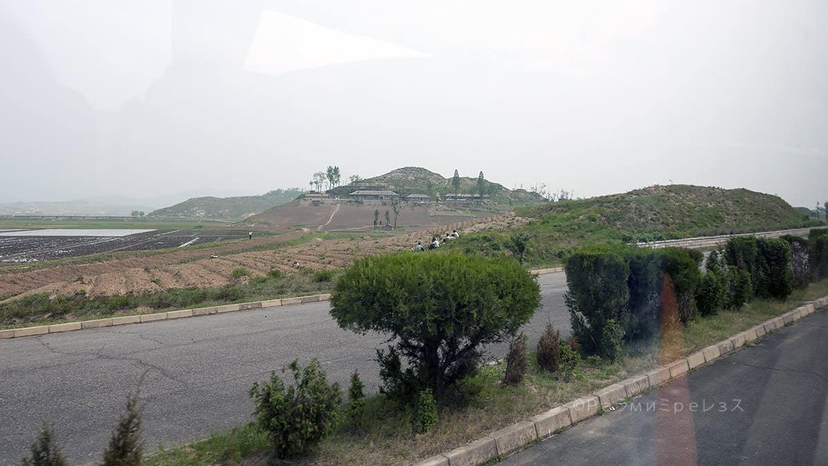
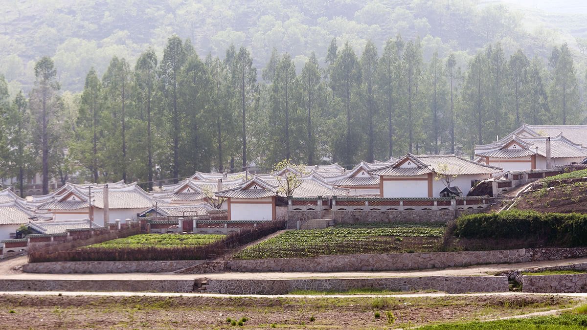
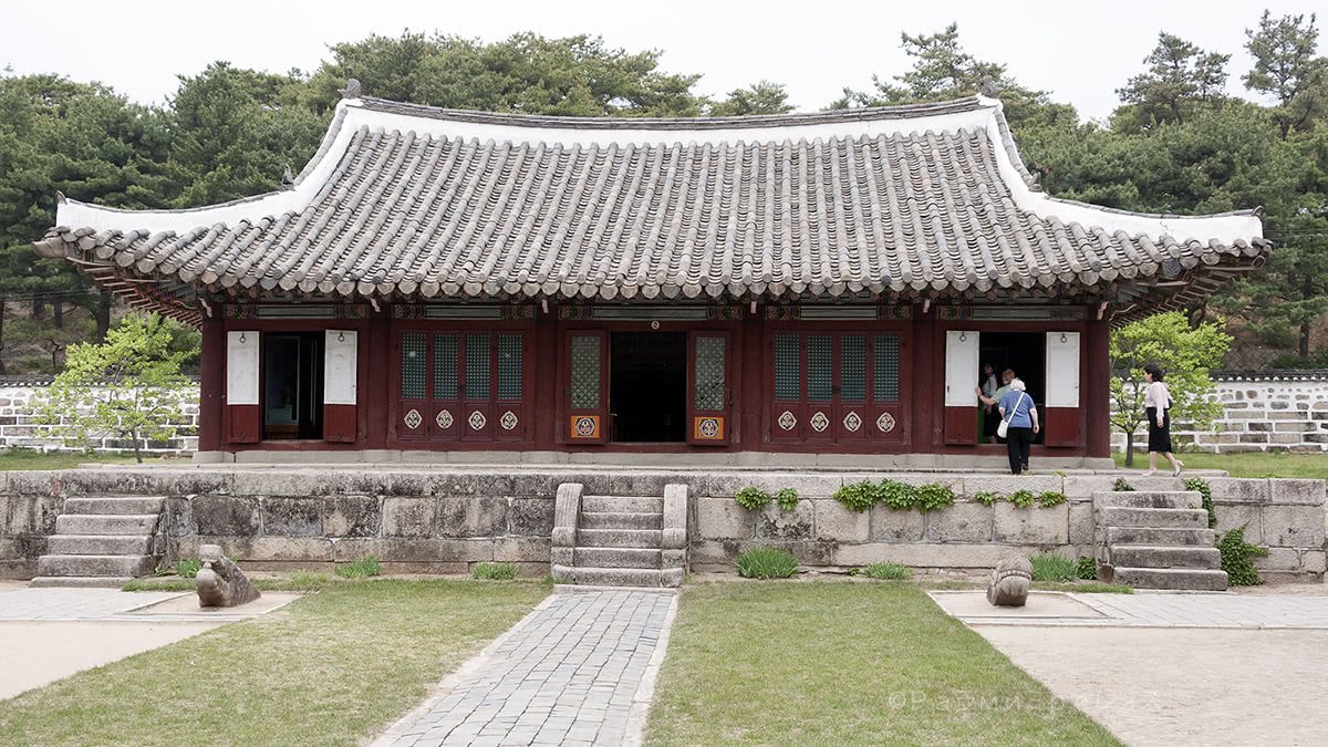
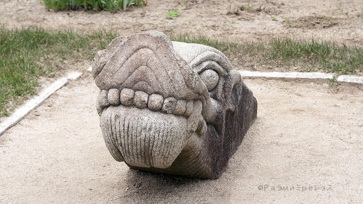
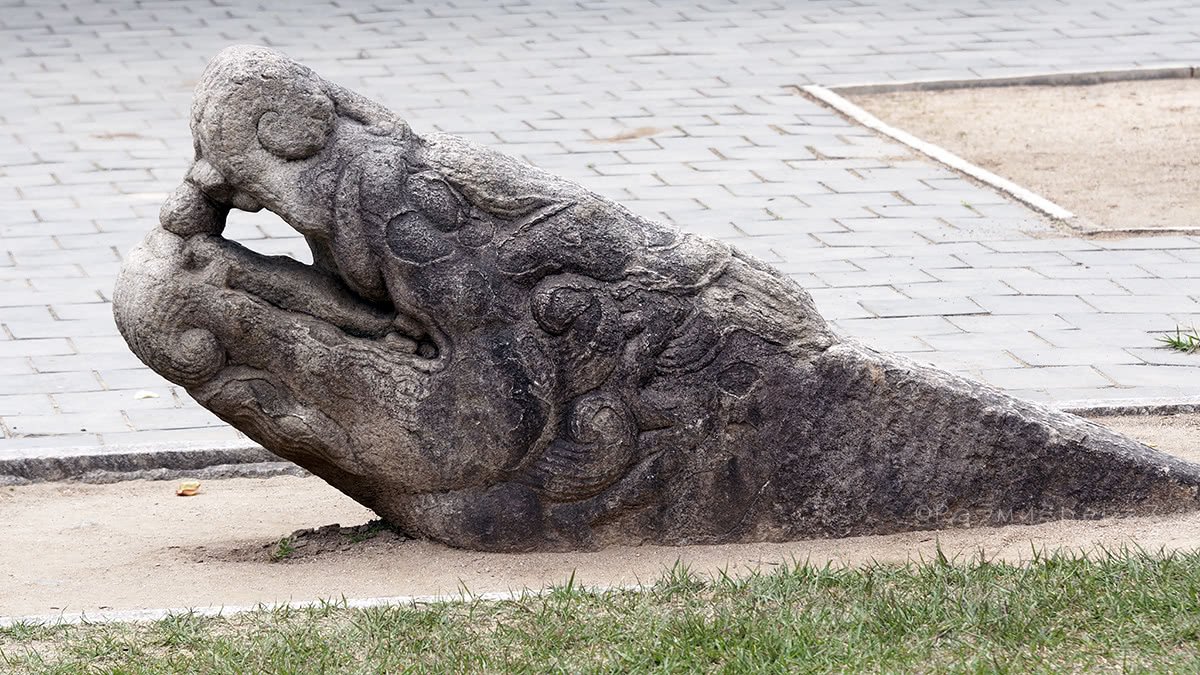
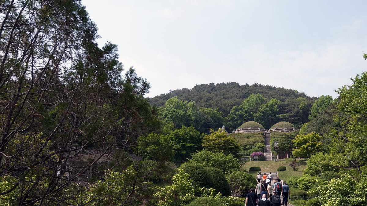
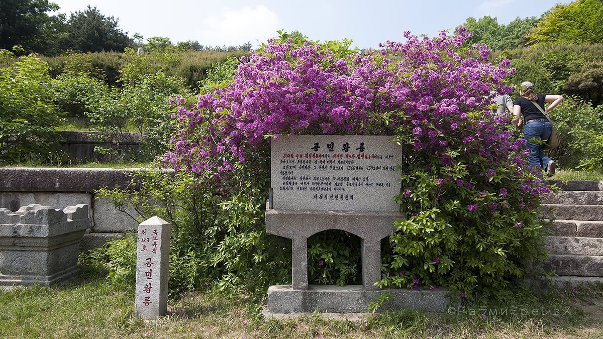
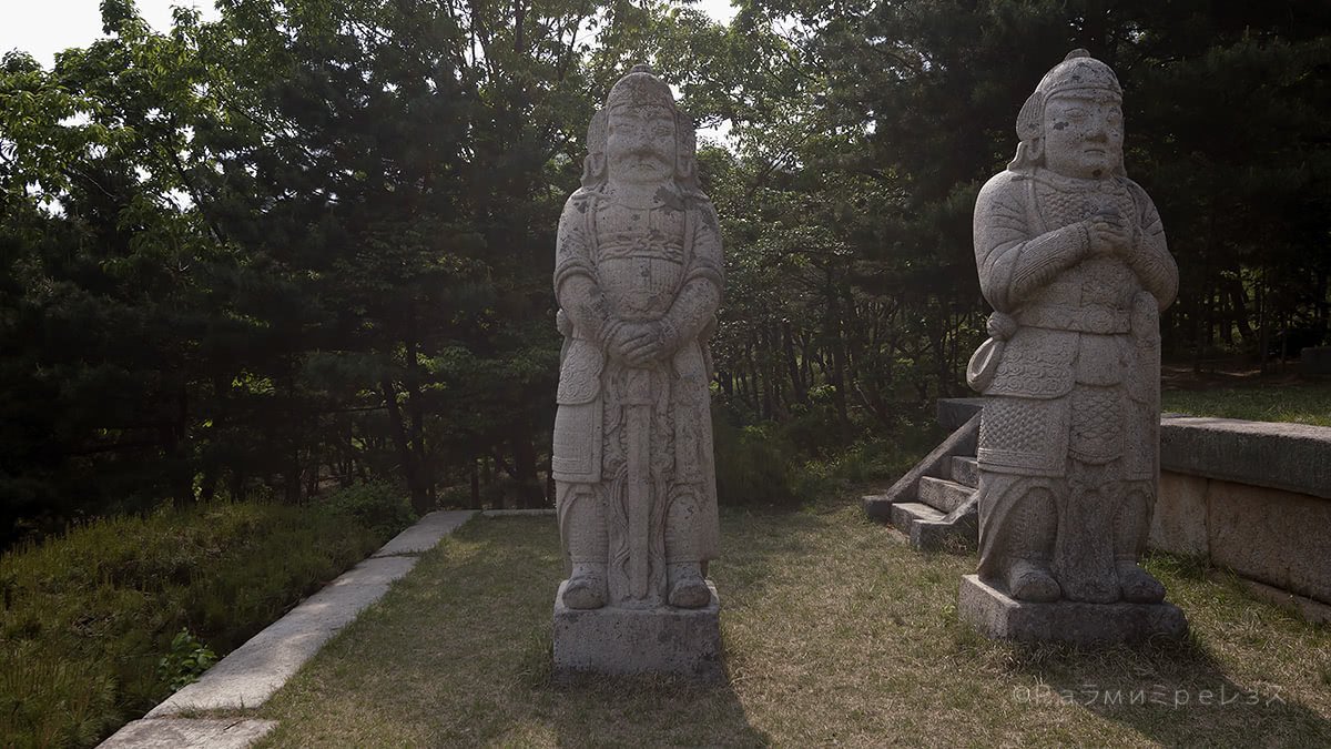
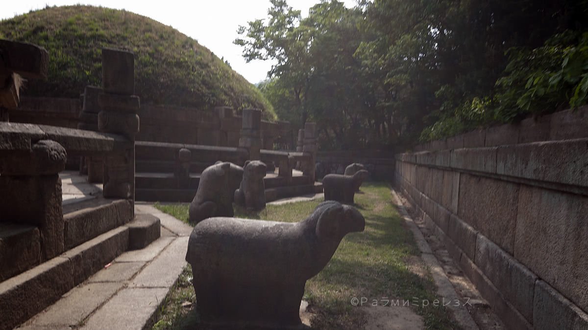
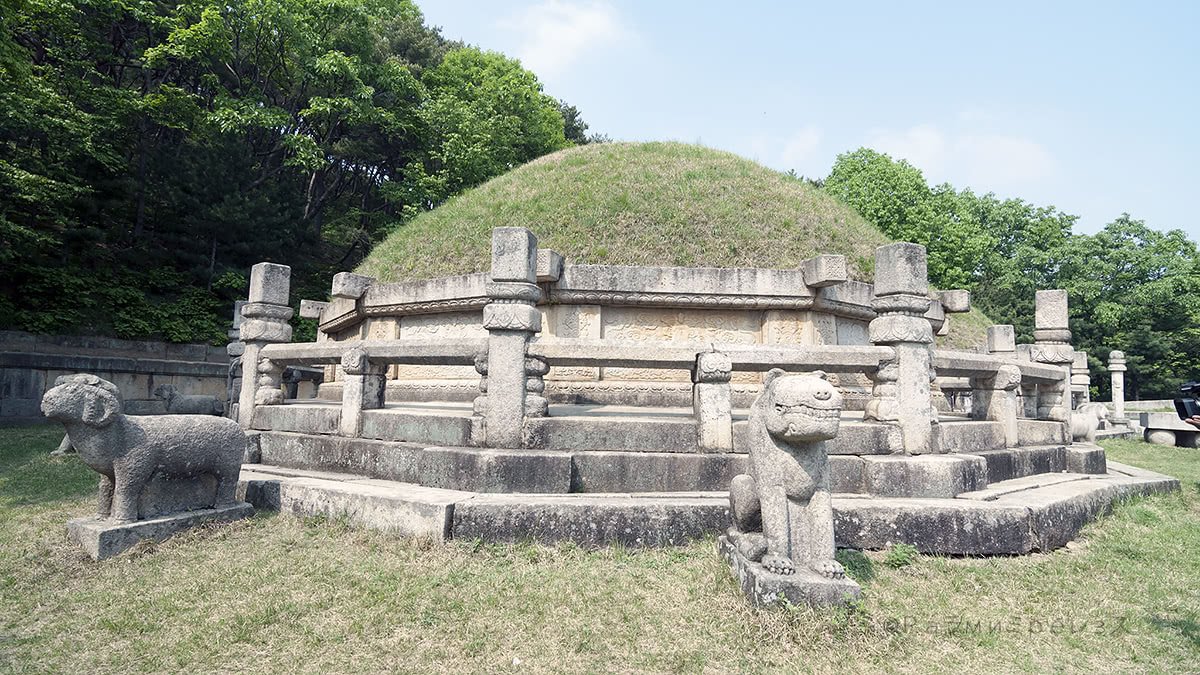
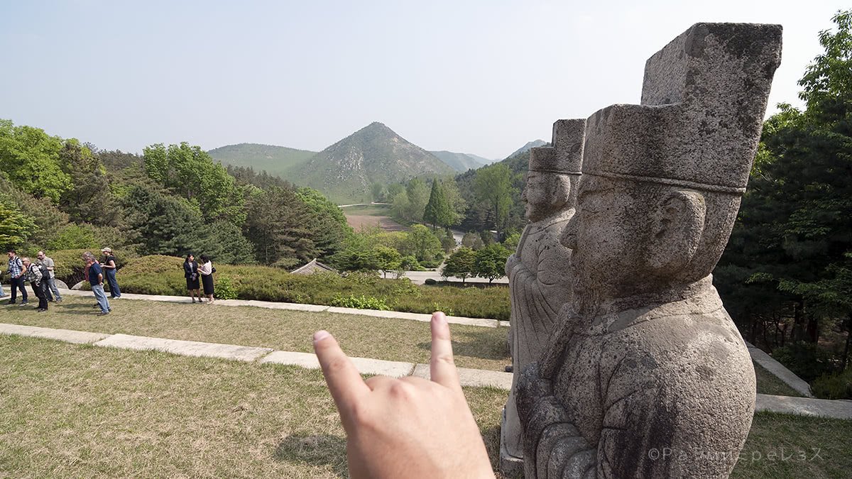
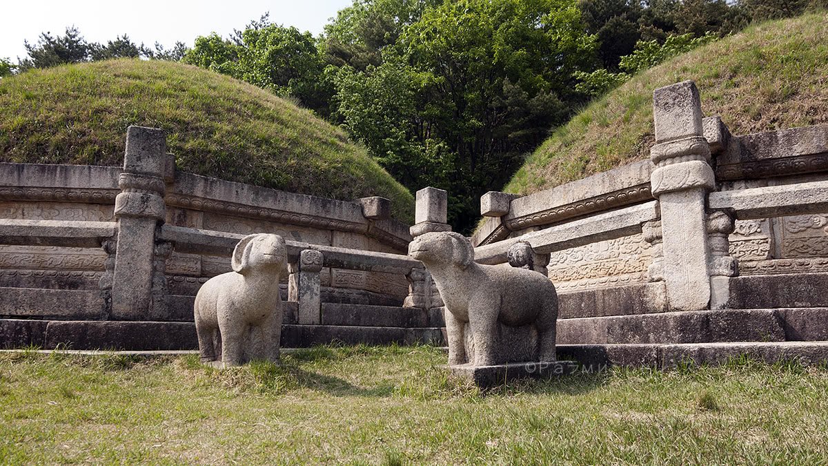
In the outskirts of Kaesong, there is a very well conserved tomb.
It belongs to one of the kings that ruled in one of the old empires that I said formed Korea many years before.
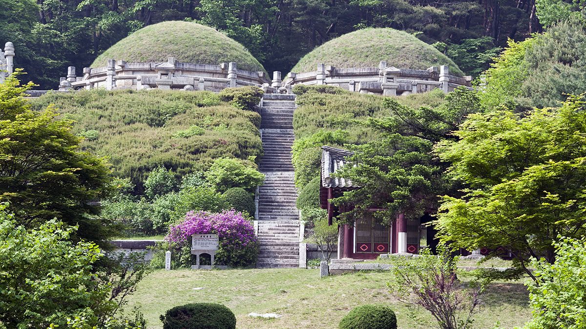
The tomb is the resting place of King Kongmin and his wife, Queen Noguk.
He ruled Goryeo (do you remember I mentioned some of those kingdoms in the very beginning?) and died in the second half of the fourteenth century.
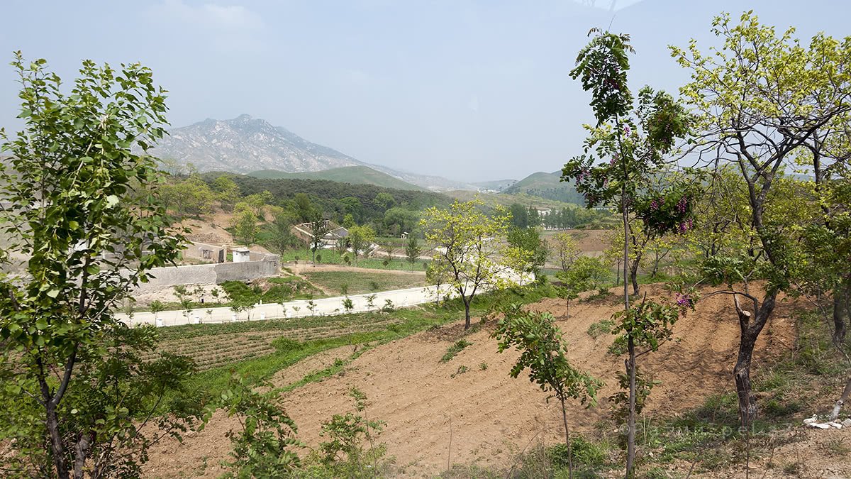
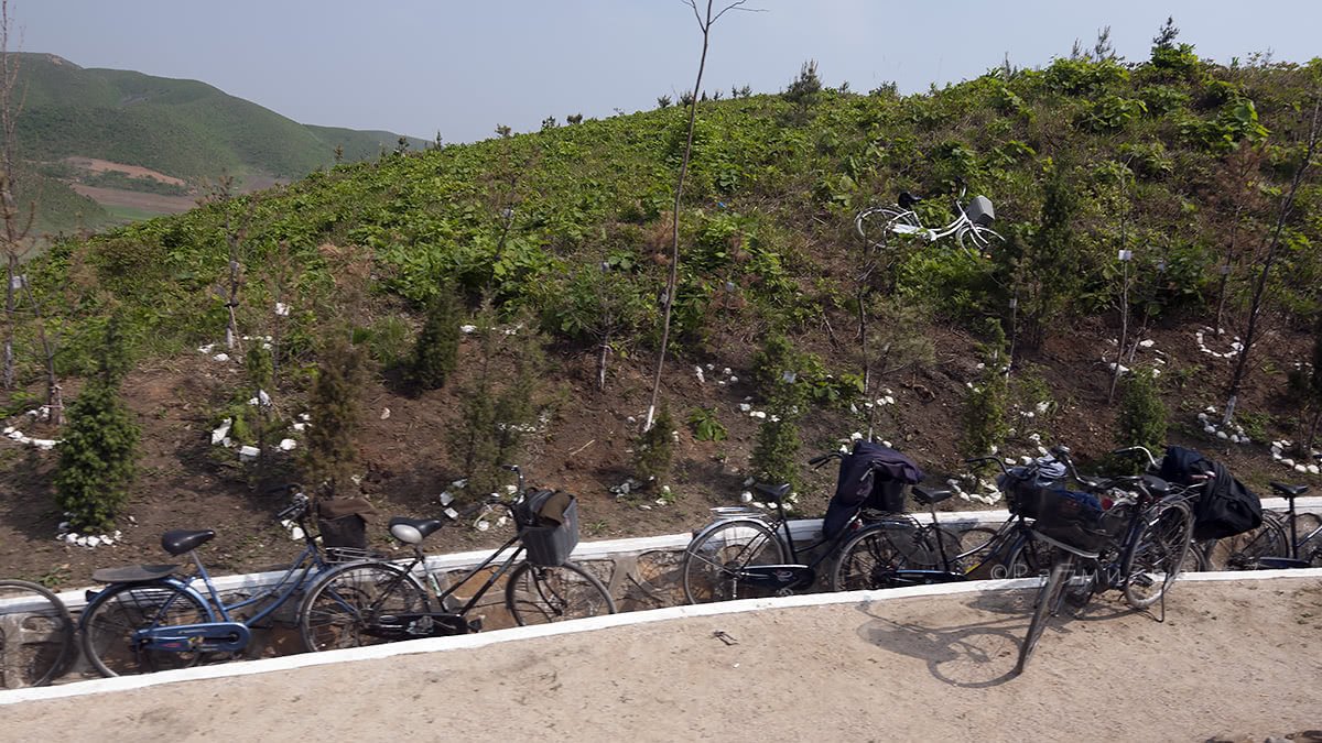
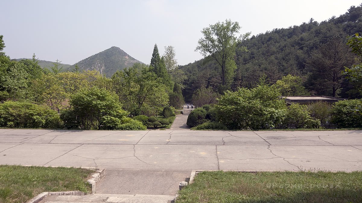
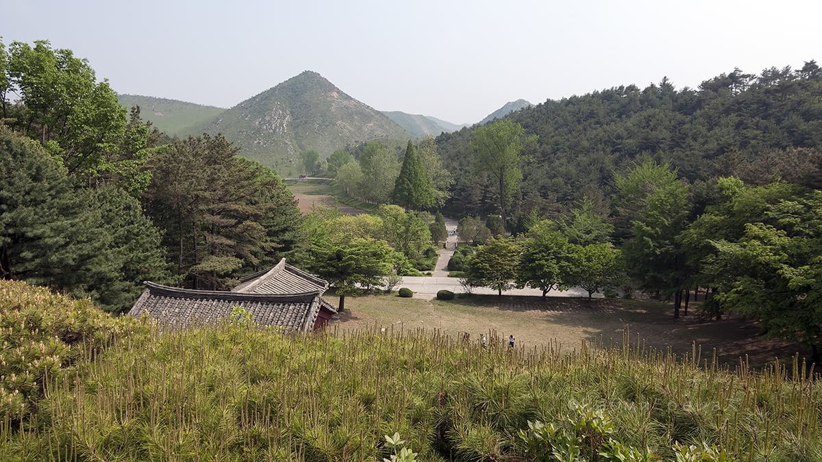
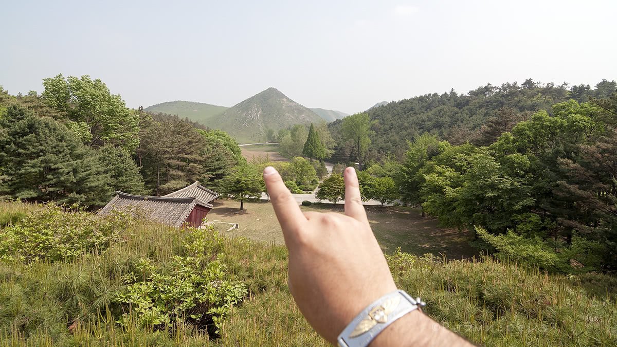
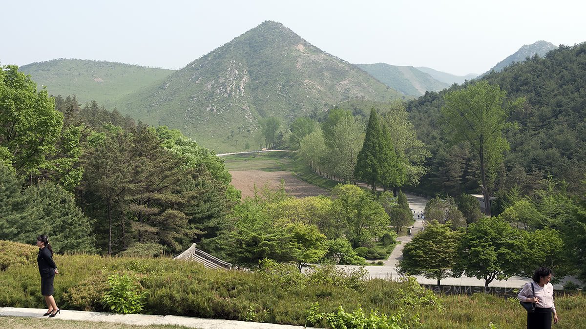
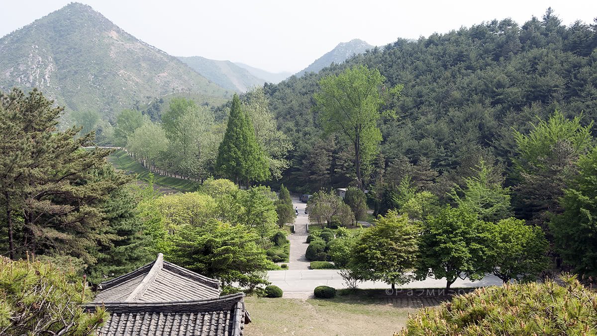
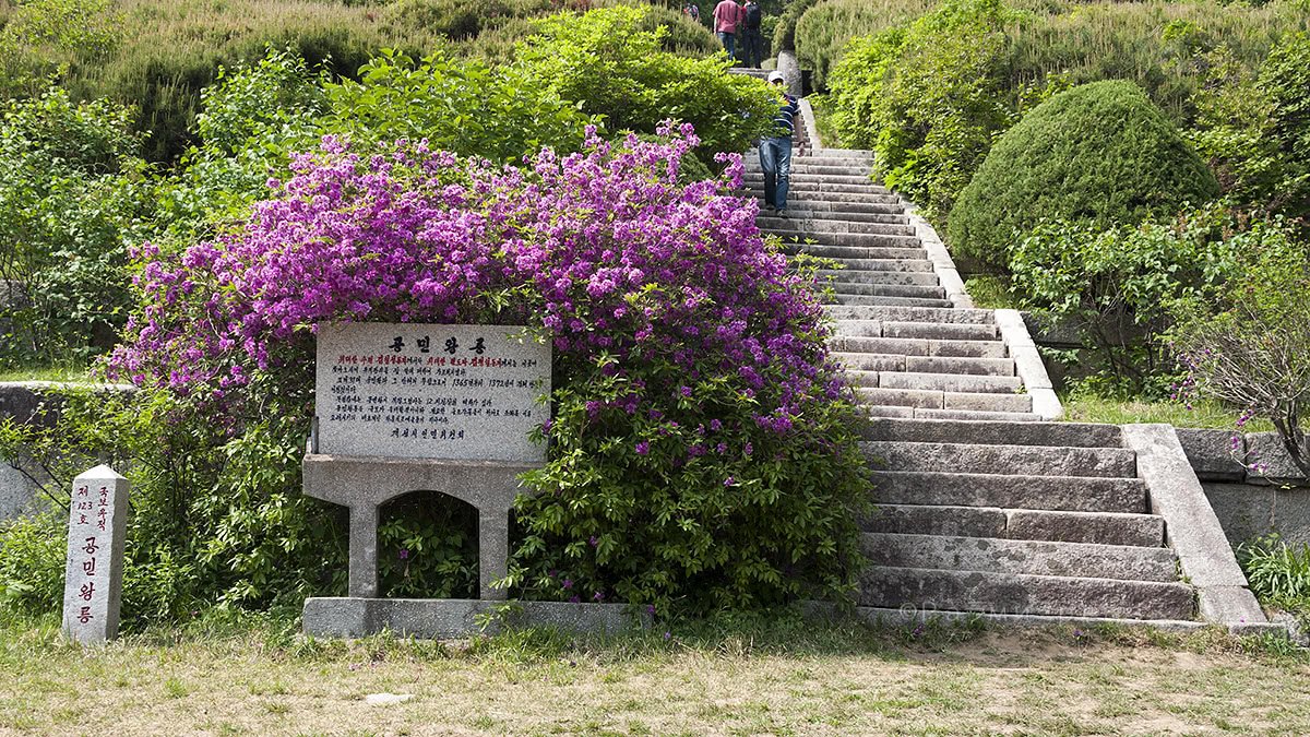
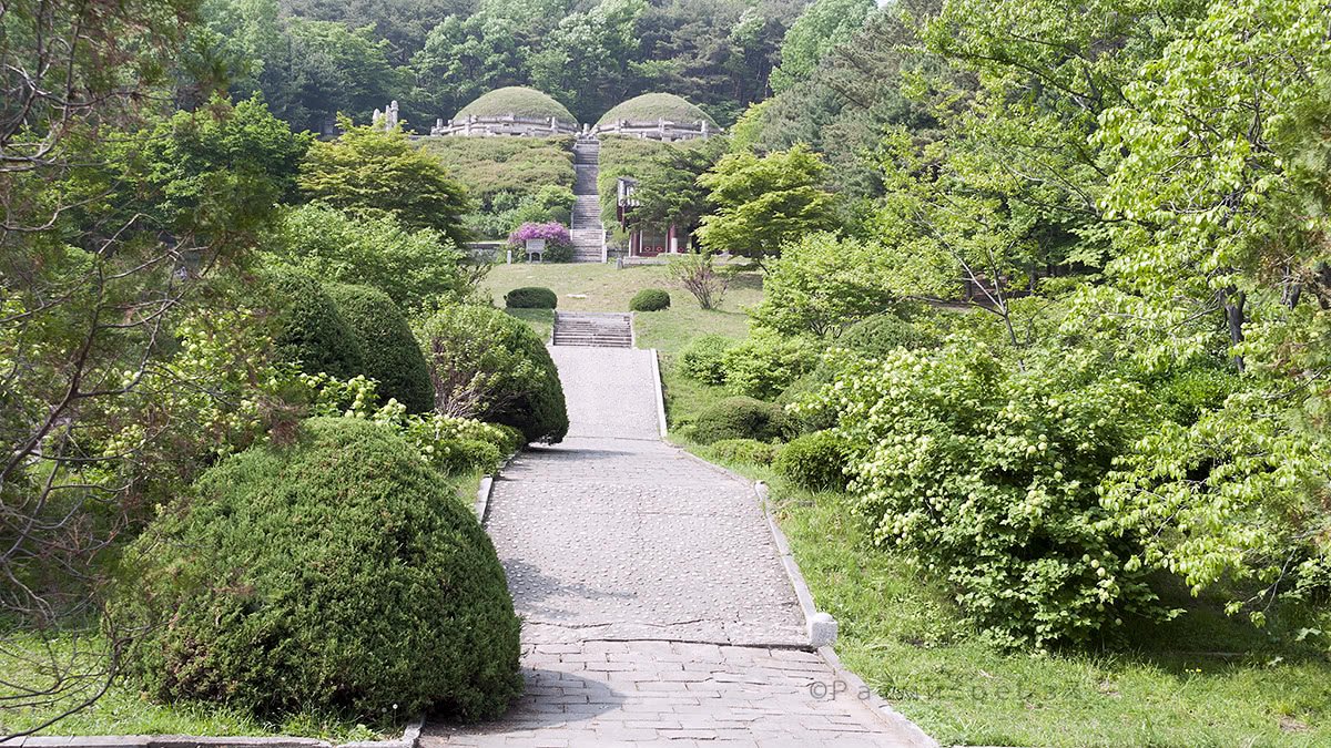

Kongmin's king tomb and the road from Kaesong.
The tomb is from those times, and it’s quite well conserved.
The regime hasn’t modified it for propaganda purposes. So much so that it is a UNESCO world heritage site.
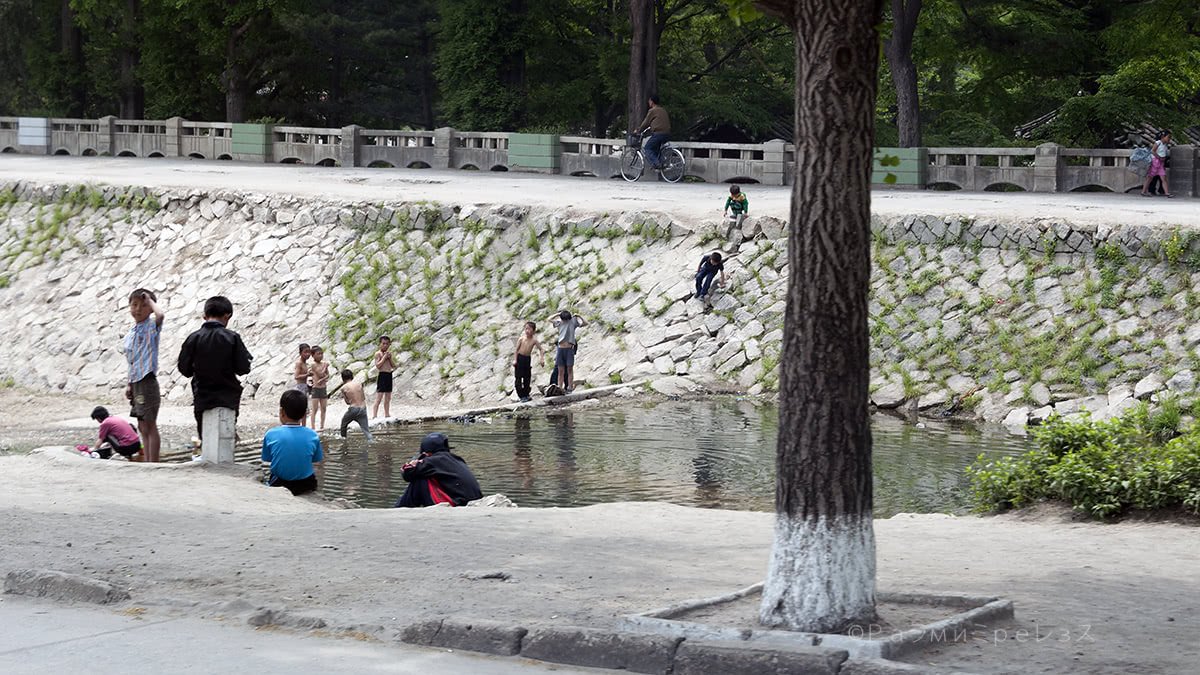
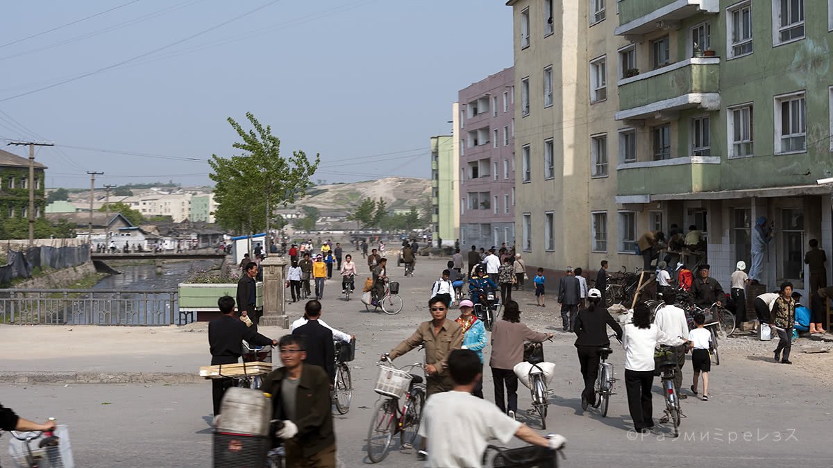
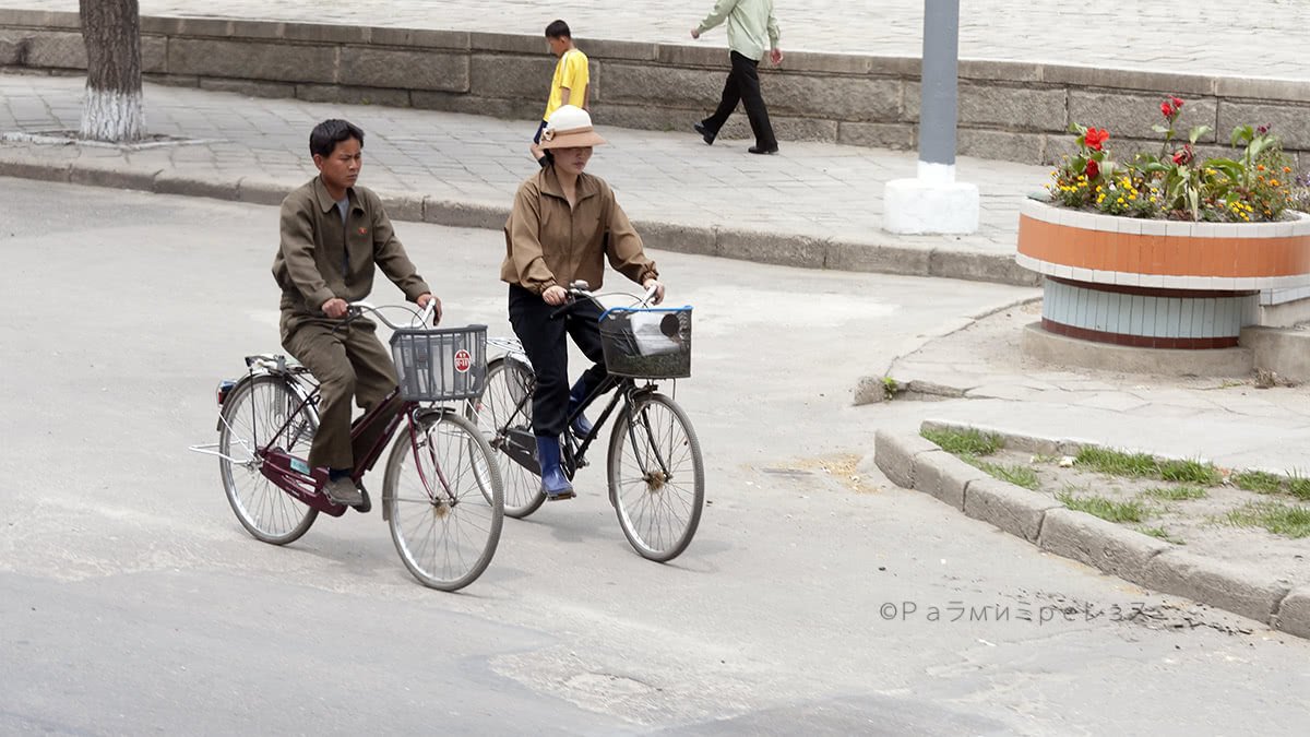
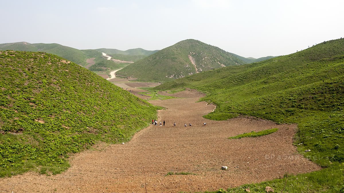
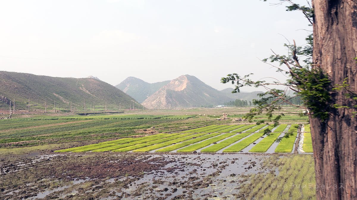
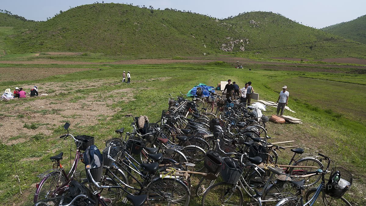
You reach it via a beautiful dirt road. It’s surrounded by crops, and farmers can be seen working. And, on the way, their bicycles.
Obviously, the road is full of propaganda.
The return is through the same road, of course.
But before continuing, we stopped at a purpose-built place to have some drinks, go to the loo, or buy stuff.
Then we made our way straight to the capital again, arriving via the Reunification Arch. Exactly our departure point.